Road trip ideas › By campervan
Portugal by campervan: the Atlantic coast from Porto to the Algarve
Portugal's coast is the winter home of Europe's campervans. Here is the whole of it, north to south, with the places to stop and the rules that changed in 2021.
Plan this trip1 Porto
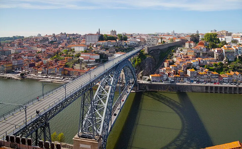
Photo by Diego Delso, CC BY-SA 3.0, via Wikimedia Commons. Porto, also known in English as Oporto, is the second largest city in Portugal, after Lisbon. It is the capital of the Porto District and one of the Iberian Peninsula's major urban areas. Wikipedia
Start in the north, with a night at the campsite in Vila Nova de Gaia across the river.
Written about in 119 languagesStart a trip here
2 Nazaré
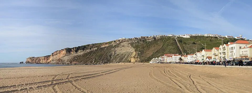
Photo by Alvesgaspar, CC BY-SA 3.0, via Wikimedia Commons. Nazaré is a Portuguese resort town and municipality located in the Oeste region, in the historical province of Estremadura, and in the Leiria District. The municipality has a population of 14,889 in an area of 82. Wikipedia
The big-wave beach. The campsite above the town looks down on the surfers.
Written about in 41 languagesStart a trip here
3 Peniche

Photo by Paulo Juntas, CC BY-SA 2.5, via Wikimedia Commons. Peniche, officially the City of Peniche, is a seaside municipality and a city in the Oeste region, in the historical province of Estremadura, and in the Leiria District. It has 26,431 inhabitants, in an area of 77.55 km2. Wikipedia
A surf town on a peninsula, with the Berlengas islands offshore.
Written about in 39 languagesStart a trip here
4 Sintra
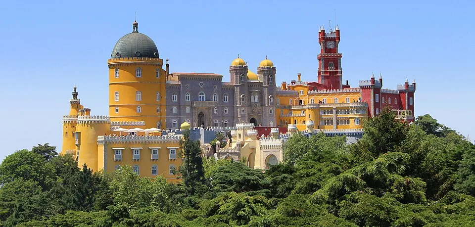
Photo by Singa Hitam, CC BY 2.0, via Wikimedia Commons. Sintra, officially the Town of Sintra, is a town and municipality in the Greater Lisbon region of Portugal, located on the Portuguese Riviera. The population of the municipality in 2021 was 385,654, in an area of 319.23 square kilometres (123.26 sq mi). Wikipedia
Leave the van at the campsite near Cabo da Roca and take the bus: Sintra's streets are not for vans.
Written about in 63 languagesStart a trip here
5 Comporta
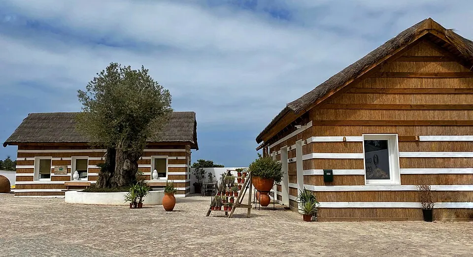
Photo by Cristiano Tomás, CC BY-SA 4.0, via Wikimedia Commons. Comporta, also known as the Comporta Coast, is a region in the northwestern coast of the Alentejo, in Portugal, south of the Lisbon metropolitan area. Wikipedia
The beach south of Lisbon, across the Tagus, with rice fields and storks.
Written about in 3 languagesStart a trip here
6 The Alentejo and Vicentine coast
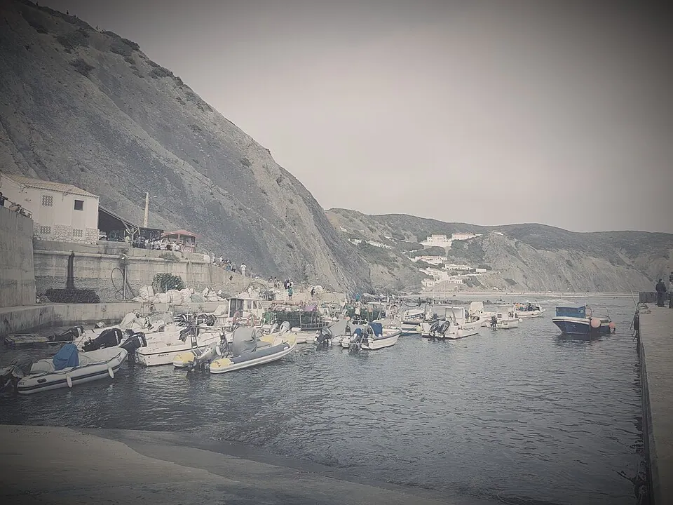
Photo by Pepolino83, CC BY-SA 4.0, via Wikimedia Commons. Southwest Alentejo and Vicentine Coast Natural Park (PNSACV) is a natural park located in southwest Portugal. It occupies an area of 895.7 km2 (345.8 sq mi) (605.8 km2 (233.9 sq mi) on land and 289.9 km2 (111. Wikipedia
Cliffs, empty beaches and the campsites at Vila Nova de Milfontes and Zambujeira. The best part of the trip.
Written about in 10 languagesStart a trip here
7 Sagres
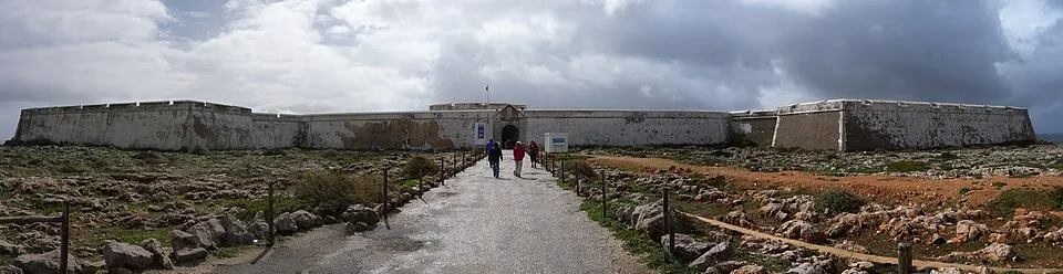
Photo by Jonas.tesch, CC BY 3.0, via Wikimedia Commons. Sagres is a civil parish in the municipality of Vila do Bispo, in the southern Algarve of Portugal. It has 1,894 inhabitants (2021) in an area of 34.37 square kilometres (13.27 sq mi). Wikipedia
The south-west corner, with the fortress and the wind.
Written about in 33 languagesStart a trip here
8 The Algarve to Faro
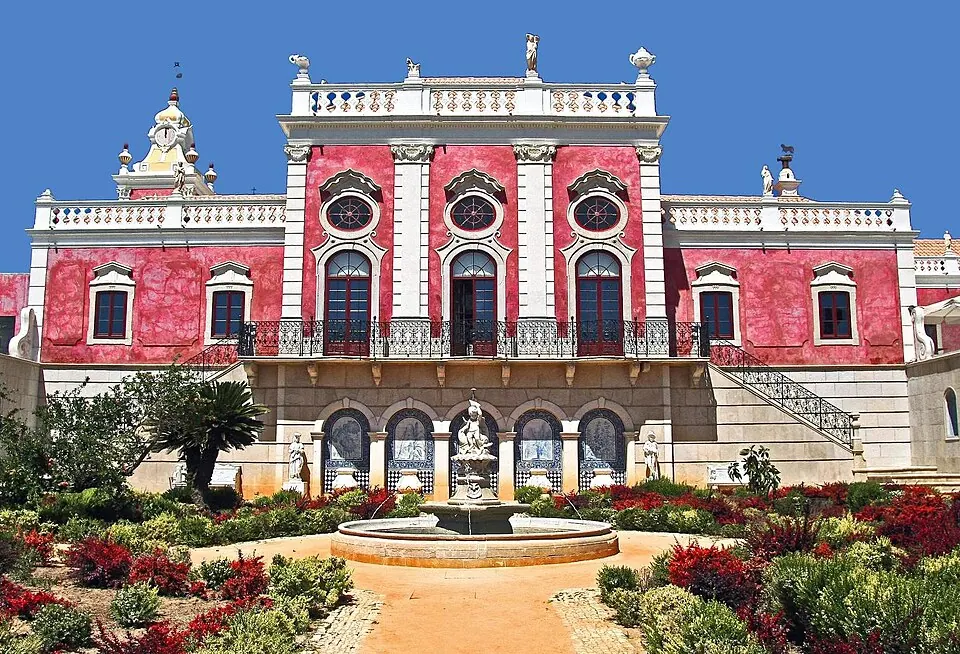
Photo by Vitor Oliveira from Torres Vedras, PORTUGAL, CC BY-SA 2.0, via Wikimedia Commons. The Algarve is the southernmost NUTS II region of continental Portugal. It has an area of 4,997 km2 (1,929 sq mi) with 467,495 permanent inhabitants and incorporates 16 municipalities (concelhos or municípios in Portuguese). Wikipedia
Lagos, the Ria Formosa lagoon and Tavira. Overnight parking outside campsites is now fined in Portugal; use the sites.
Written about in 62 languagesStart a trip here
Riding or driving it
About 800 km in two weeks: 60 km a day. Give Roadlegs a short day and long stays, and it puts the nights where the campsites are.
Open the plan in Roadlegs How the planner handles this vehicle.
About the facts and photos
The descriptions in italics are the opening sentences of the Wikipedia article for each place, used under CC BY-SA 4.0, fetched on 6 October 2026. Photos are from Wikimedia Commons under the licence named beside each one. "Written about in N languages" counts the Wikipedia editions that have an article, from Wikidata; it is a measure of how well known a place is, not a rating. Everything else is the author's own opinion. Roads close with the seasons: check before you go.
More ideas
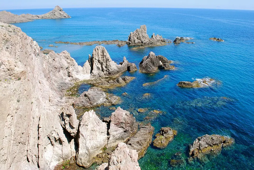
Andalusia by campervan in winter: 10 stops where it is still warm
A winter campervan route through Andalusia: Cabo de Gata, Granada, the Sierra Nevada, Ronda, Grazalema, Cádiz, Tarifa, Doñana, Seville and Córdoba, with where to park.
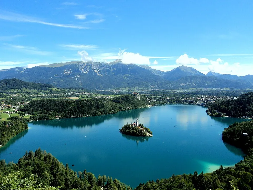
Slovenia and Croatia by campervan in ten days
A ten-day campervan itinerary through Slovenia and Croatia: Bled, the Soča valley, Ljubljana, Istria, Plitvice and the island of Krk, with campsites.
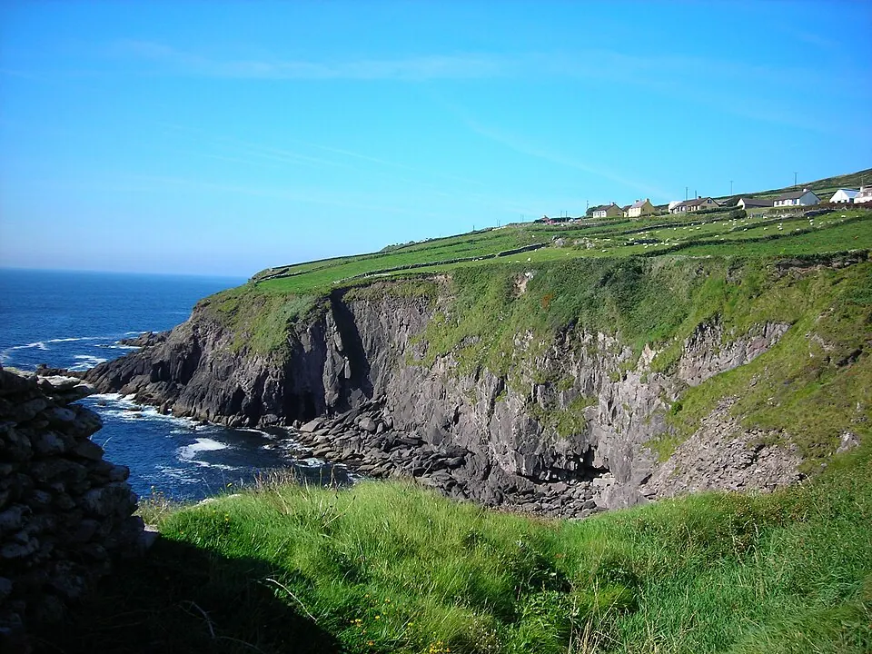
The Wild Atlantic Way by campervan: 10 stops from Kinsale to Donegal
Ireland's Wild Atlantic Way in a campervan: Beara, the Ring of Kerry, Dingle, the Cliffs of Moher, the Burren, Connemara, Achill, Slieve League and Inishowen, with campsites.


_(cropped2).jpg)
.jpg)


_(cropped).jpg)
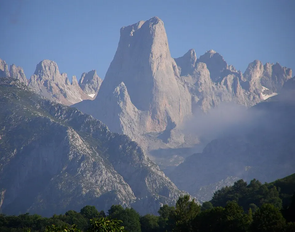
Best motorcycle roads in Spain and Portugal
Eight roads for a motorcycle trip in Iberia: Picos de Europa, the Pyrenees, Sierra Nevada, the Algarve and the N2 through Portugal.