Road trip ideas › By campervan
The Wild Atlantic Way by campervan: 10 stops from Kinsale to Donegal
The west coast of Ireland was made for a campervan: a signed route the whole way, campsites every evening, pubs every village, and weather that changes four times a day. These ten stops run south to north.
Plan this trip1 The route itself
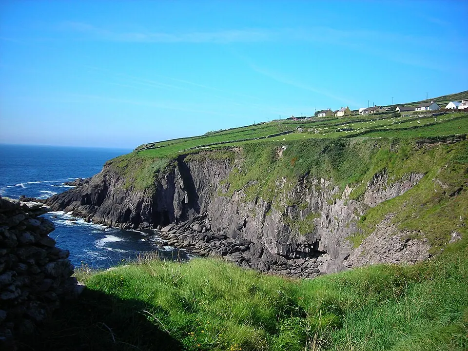
Photo by Jim, CC BY 2.0, via Wikimedia Commons. The Wild Atlantic Way is a tourism trail on the west coast, and on parts of the north and south coasts, of Ireland. Wikipedia
A signed coastal route from Kinsale to the Inishowen peninsula. Nobody drives all of it in one go; two weeks covers the best of it.
Written about in 11 languages
2 Beara Peninsula
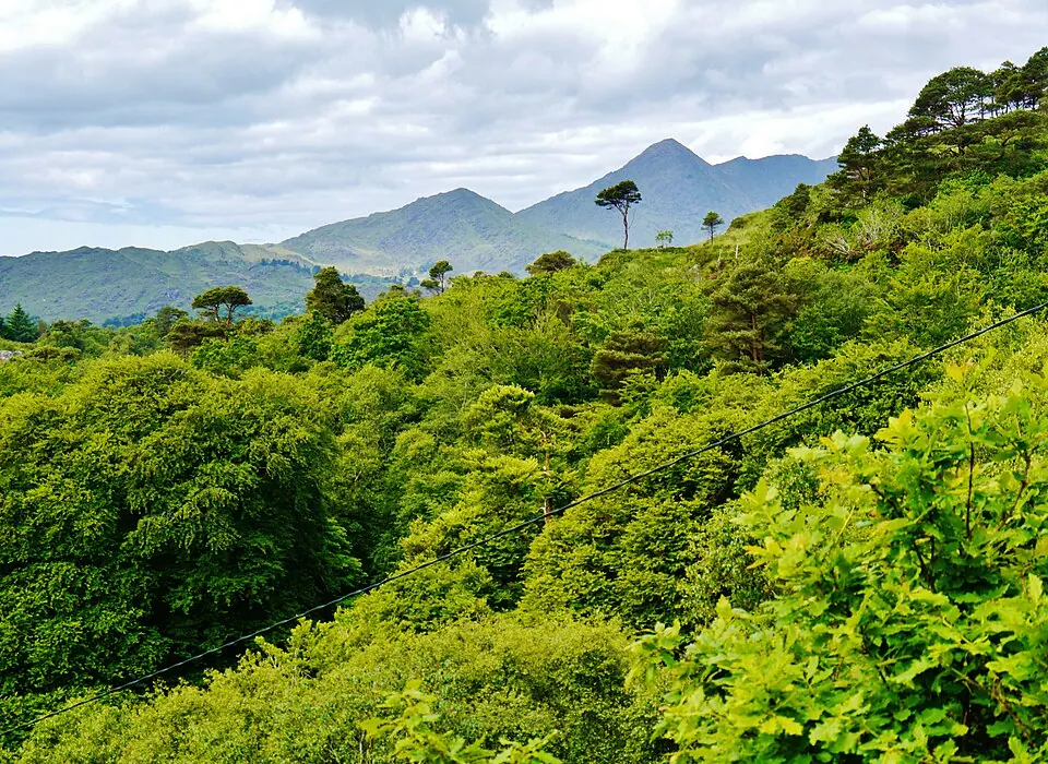
Photo by Zairon, CC BY 4.0, via Wikimedia Commons. Beara or the Beara Peninsula is a peninsula on the south-west coast of Ireland, bounded between the Kenmare River (which is actually a bay) to the north side and Bantry Bay to the south. Wikipedia
The quiet one, south of Kerry: the Healy Pass over the middle, the cable car to Dursey Island at the end. Narrow roads; a van under 6 m is happier here.
Written about in 15 languagesStart a trip here
3 Ring of Kerry
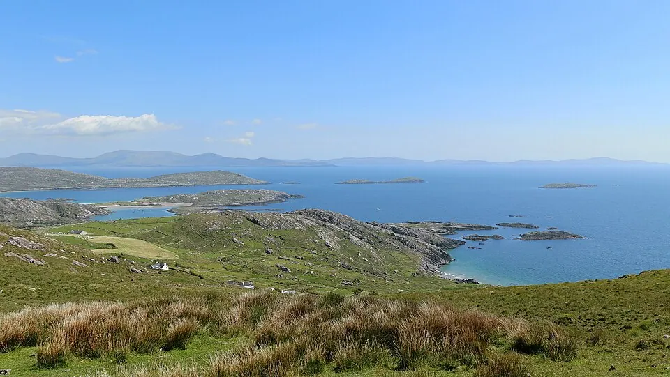
Photo by Robert Linsdell from St. Andrews, Canada, CC BY 2.0, via Wikimedia Commons. The Ring of Kerry is a 179-kilometre-long (111-mile) circular tourist route in County Kerry, south-western Ireland. Wikipedia
The famous loop. Drive it anticlockwise like the coaches so you never meet one head on, and stop at Derrynane and the Skellig viewpoints.
Written about in 16 languagesStart a trip here
4 Dingle Peninsula

Photo by Steve Ford Elliott, crop by User:Howcheng, CC BY 2.5, via Wikimedia Commons. The Dingle Peninsula is the northernmost of the major peninsulas in County Kerry. It ends beyond the town of Dingle at Dunmore Head, the westernmost point of mainland Ireland. Wikipedia
Slea Head Drive around the end of the peninsula is the best short drive in Ireland. Dingle town for the evening; the campsite above the harbour has the view.
Written about in 26 languagesStart a trip here
5 Cliffs of Moher
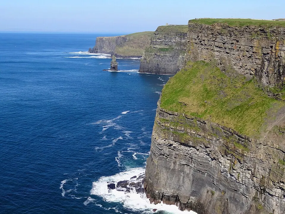
Photo by Bjørn Christian Tørrissen, CC BY-SA 3.0, via Wikimedia Commons. The Cliffs of Moher are sea cliffs located at the southwestern edge of the Burren region in County Clare, Ireland. They run for about 14 kilometres (9 miles). Wikipedia
The cliffs everyone comes for. Arrive before nine or after six; the car park has van spaces.
Written about in 44 languagesStart a trip here
6 The Burren
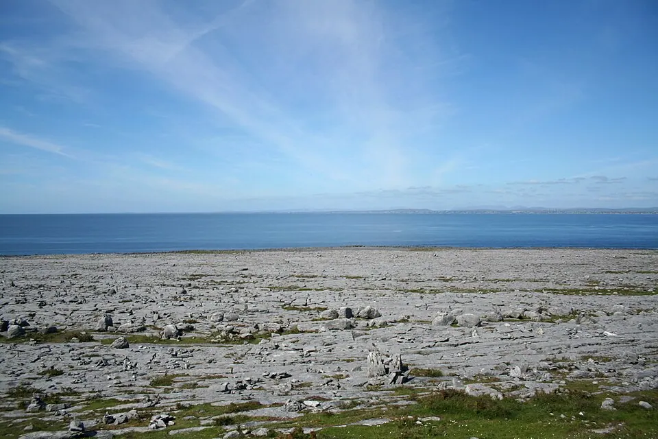
Photo by Ingo Mehling, CC BY-SA 3.0, via Wikimedia Commons. The Burren is a karst/glaciokarst landscape centred in County Clare, on the west coast of Ireland. It measures around 530 square kilometres (200 mi2), within the circle made by the villages of Lisdoonvarna, Corofin, Gort and Kinvara. Wikipedia
Grey limestone pavement to the sea, orchids in the cracks, dolmens in the fields, and the coast road from Doolin to Ballyvaughan.
Written about in 31 languagesStart a trip here
7 Connemara
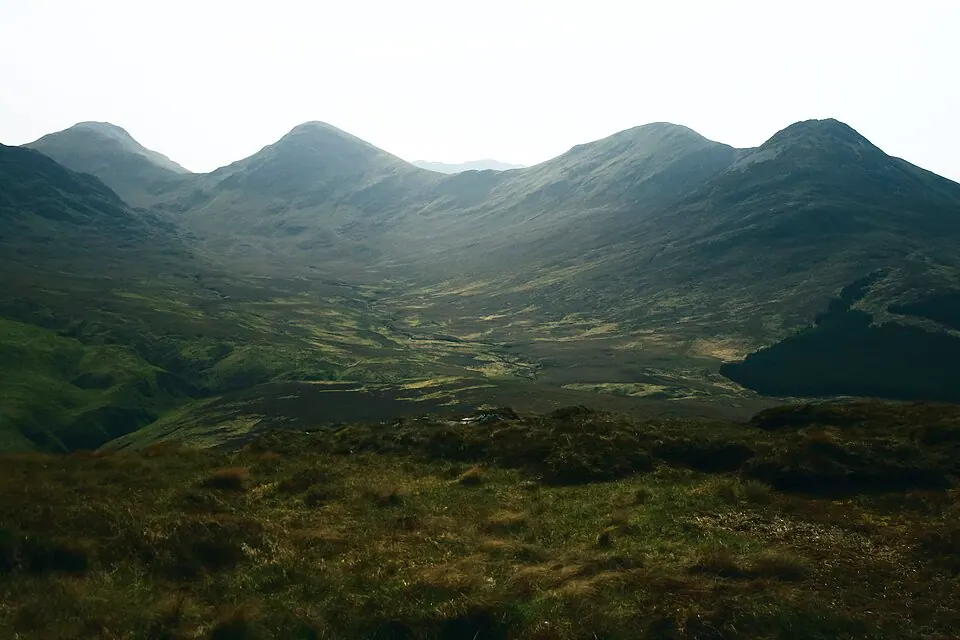
Photo by Vratsa18, CC BY-SA 4.0, via Wikimedia Commons. Connemara is a region on the Atlantic coast of western County Galway, in the west of Ireland. Wikipedia
Bog, lakes and the Twelve Bens. Clifden for the Sky Road loop, Kylemore Abbey on the way north.
Written about in 31 languagesStart a trip here
8 Achill Island
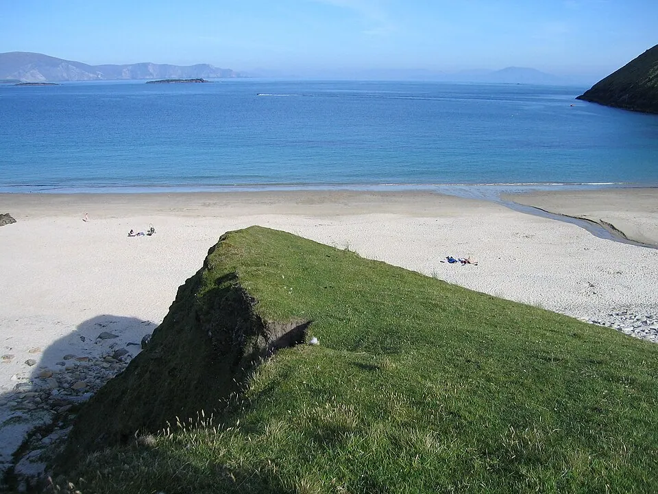
Photo by Sarah777, CC BY-SA 2.0, via Wikimedia Commons. Achill Island is located off the west coast of Ireland in the historical barony of Burrishoole, County Mayo. It is the largest of the Irish isles and has an area of approximately 148 km2 (57 sq mi). Wikipedia
Reached by a bridge, with the Atlantic Drive around the south and Keem Bay at the far end. Camp by the beach at Keel.
Written about in 36 languagesStart a trip here
9 Slieve League
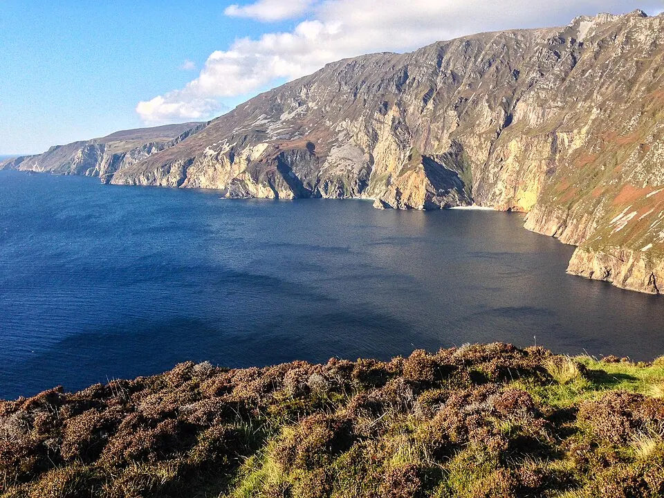
Photo by Tony Webster from San Francisco, California, CC BY 2.0, via Wikimedia Commons. Slieve League is a mountain on the Atlantic coast of County Donegal, Ireland. At 601 metres (1,972 ft), it has the second-highest sea cliffs in Ireland, after Croaghaun, and some of the highest sea cliffs in Europe. Wikipedia
Sea cliffs among the highest in Europe, in Donegal. The upper car park is tight for a large van; walk the last part.
Written about in 21 languagesStart a trip here
10 Inishowen
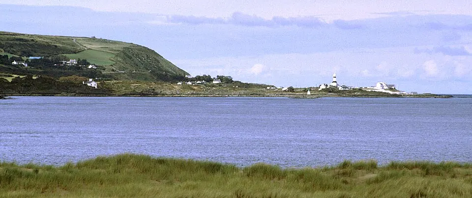
Photo by David Trochos at English Wikipedia, Public domain, via Wikimedia Commons. Inishowen is a peninsula in the north of County Donegal in Ireland. Inishowen is the most northerly peninsula on the island of Ireland. Wikipedia
The last peninsula, with Malin Head at the top of Ireland and the Inishowen 100 loop around it. Few vans get this far; the ones that do have it to themselves.
Written about in 23 languagesStart a trip here
Riding or driving it
Wild camping is not allowed in most of Ireland, but campsites and a growing number of aires are plentiful from April to October. Many coast roads are single track with passing places: set the planner to 150 km days and the van to its real width.
Open the plan in Roadlegs How the planner handles this vehicle.
About the facts and photos
The descriptions in italics are the opening sentences of the Wikipedia article for each place, used under CC BY-SA 4.0, fetched on 6 October 2026. Photos are from Wikimedia Commons under the licence named beside each one. "Written about in N languages" counts the Wikipedia editions that have an article, from Wikidata; it is a measure of how well known a place is, not a rating. Everything else is the author's own opinion. Roads close with the seasons: check before you go.
More ideas
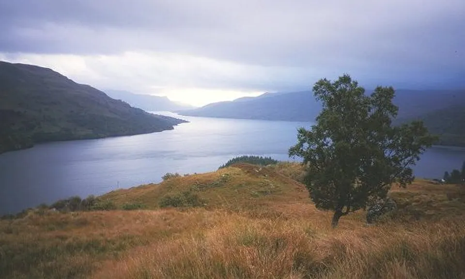
Scotland by campervan: a Highlands route with campsites
A ten-day campervan route through the Scottish Highlands: Glencoe, Skye, Torridon, the NC500 west coast, Orkney and the Cairngorms, with campsite stops.
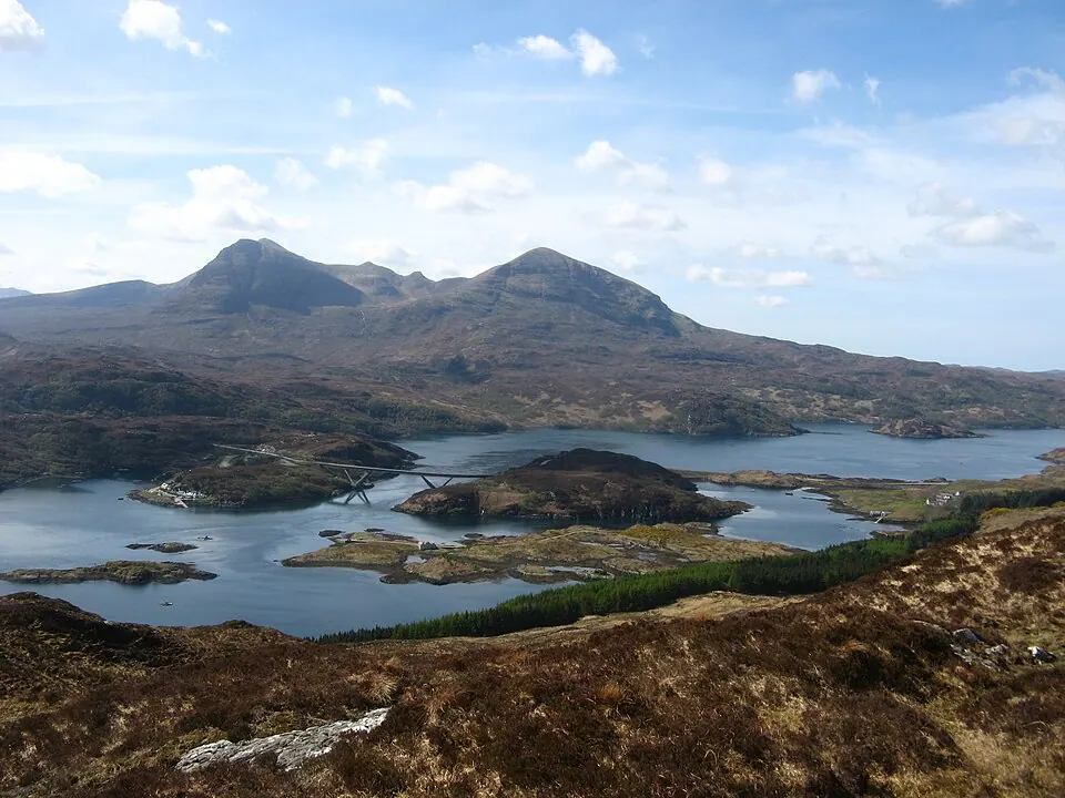
Scotland by motorcycle: the North Coast 500 and the roads beyond it
The North Coast 500 and six other Scottish roads for a motorcycle trip: Bealach na Bà, Glencoe, Skye, the Cairngorms and the ferry to Mull.
The best road trips in the UK and Ireland
Seven road trips in Britain and Ireland by car: the North Coast 500, the Wild Atlantic Way, the Ring of Kerry, the Lake District, Snowdonia, Cornwall and Antrim.


_(27964189752).jpg)


.jpg)

The 10 best campervan routes in Europe
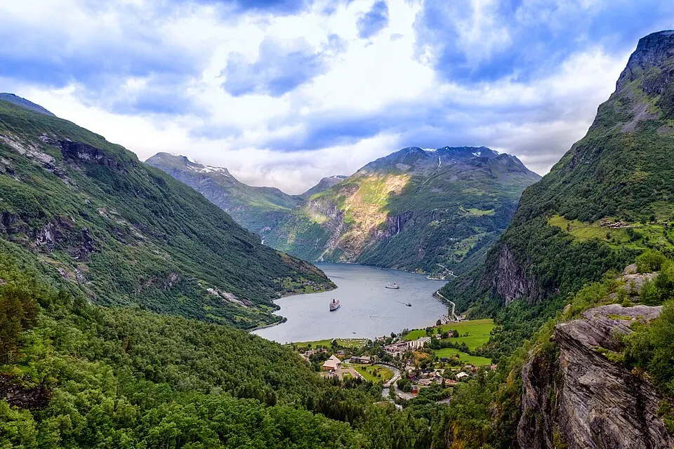
Ten routes for a campervan or motorhome in Europe: Norway's fjords, the Scottish Highlands, the Atlantic coast of France and Portugal, Slovenia, Croatia and the Alps.