Road trip ideas › By motorcycle
Best motorcycle roads in Spain and Portugal
Dry roads, long seasons and empty mountains. Spain and Portugal reward a long ride from the north with some of the best riding in Europe from March to November.
Plan this trip1 Picos de Europa
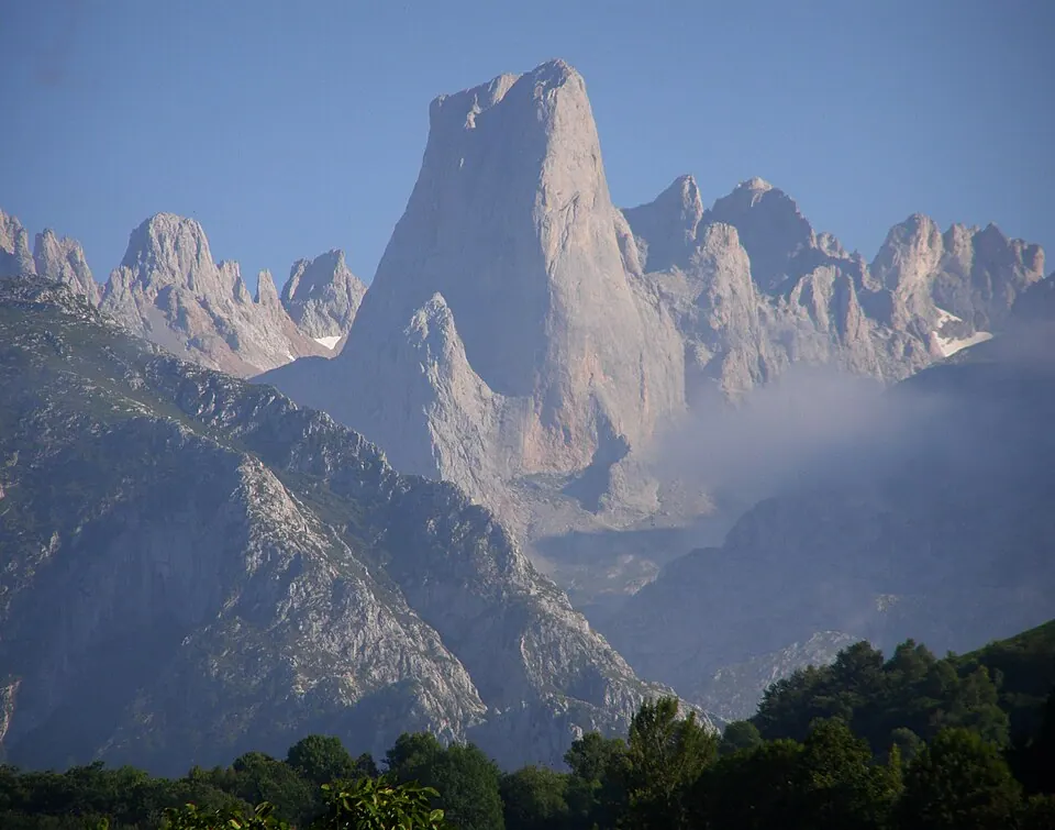
Photo by Evölah, CC BY-SA 3.0, via Wikimedia Commons. The Picos de Europa ("Peaks of Europe", also the Picos) are a mountain range extending for about 20 km (12 mi), forming part of the Cantabrian Mountains in northern Spain. Wikipedia
Limestone gorges and the Desfiladero de la Hermida. Potes is the base; Fuente Dé is the dead-end to ride.
Written about in 31 languagesStart a trip here
2 The Pyrenees: Tourmalet and Aubisque
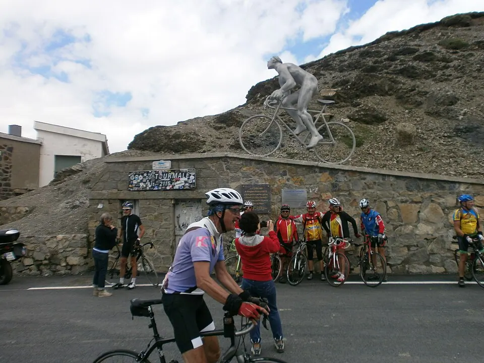
Photo by Adolfobrigido, CC BY-SA 3.0, via Wikimedia Commons. Col du Tourmalet is one of the highest paved mountain passes in the French Pyrenees, in the department of Hautes-Pyrénées. Sainte-Marie-de-Campan is at the foot on the eastern side and the ski station La Mongie two-thirds of the way up. Wikipedia
The French Pyrenean passes in a row, from Pau to Luchon. Less traffic than the Alps, and the Spanish side is drier.
Written about in 26 languagesStart a trip here
3 Sierra Nevada, Pico del Veleta road
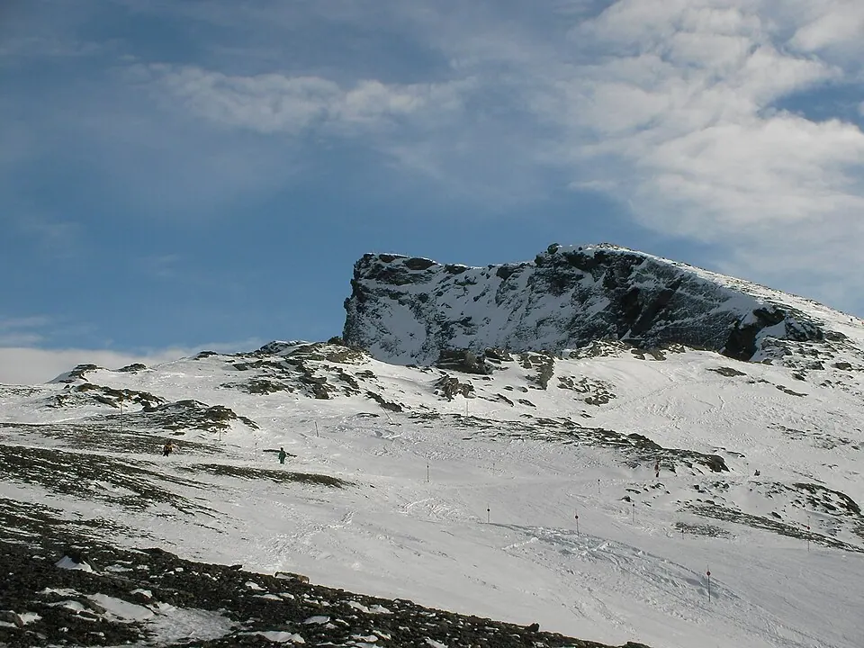
Photo by David Adamson, CC BY-SA 3.0, via Wikimedia Commons. Veleta (from the Arab word "Balata", meaning cliff) or Pico del Veleta is the third highest peak of the Iberian Peninsula and the second highest of the Sierra Nevada. Wikipedia
The highest paved road in Europe, to 3,300 m above Granada. The upper part is closed to vehicles, but the ride to the barrier is still extraordinary.
Written about in 25 languagesStart a trip here
4 Ronda and the white villages
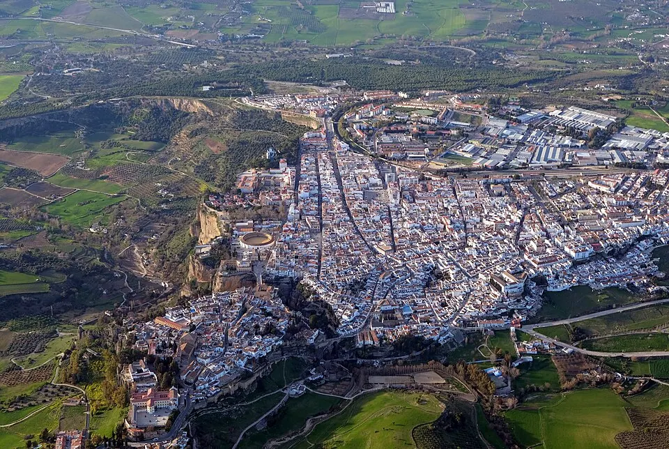
Photo by kallerna, CC BY-SA 4.0, via Wikimedia Commons. Ronda is a municipality of Spain belonging to the province of Málaga, within the autonomous community of Andalusia. Wikipedia
The A-397 from the coast up to Ronda is a motorcycle road first and a road second. Then the pueblos blancos west of it.
Written about in 71 languagesStart a trip here
5 N2, Portugal end to end
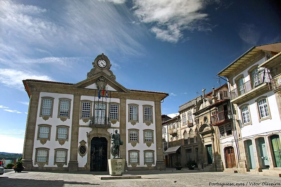
Photo by Vitor Oliveira from Torres Vedras, PORTUGAL, CC BY-SA 2.0, via Wikimedia Commons. Chaves, officially the City of Chaves, is a city and a municipality in the north of Portugal. It is 10 km south of the Spanish border and 22 km south of Verín (Spain). Wikipedia
Portugal's "Route 66": 739 km from Chaves to Faro through the interior. Three to four days, with a passport you stamp at each town.
Written about in 44 languagesStart a trip here
6 Serra da Estrela
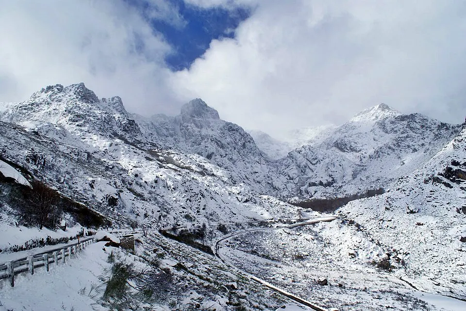
Photo by Luis Fonseca, CC BY 2.0, via Wikimedia Commons. Serra da Estrela is the highest mountain range in Continental Portugal. Together with the Serra da Lousã it is the westernmost constituent range of the Sistema Central and also one of the highest in the system. Wikipedia
Portugal's highest mountains, with a road to the top at Torre and granite scenery that looks like nowhere else in the country.
Written about in 38 languagesStart a trip here
7 Cabo de Gata
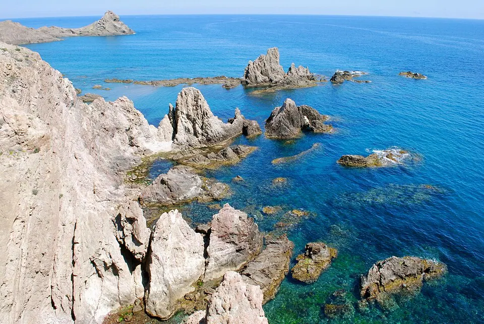
Photo by Martyn Thompson (Cabo de Gata Photography), CC BY-SA 2.5, via Wikimedia Commons. The Cabo de Gata-Níjar Natural Park is a natural park located in Almería, Spain. It is the largest protected coastal area in Andalusia, featuring a rugged landscape. Wikipedia
The desert coast of Almería: volcanic rock, empty beaches and roads with no traffic even in August.
Written about in 21 languagesStart a trip here
8 Ordesa and the Spanish Pyrenees
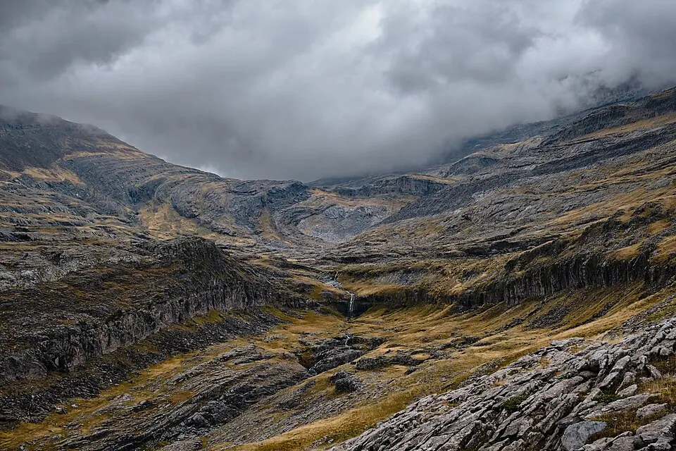
Photo by Moahim, CC BY-SA 4.0, via Wikimedia Commons. Ordesa y Monte Perdido National Park (Parque nacional de Ordesa y Monte Perdido) is an IUCN Category II National Park situated in the Pyrenees. There has been a National Park in the Ordesa Valley since 1918. Wikipedia
The Spanish side of the Pyrenees around Torla and Aínsa: canyons, limestone and the quiet N-260 road.
Written about in 37 languagesStart a trip here
Riding or driving it
Iberia is big: Bilbao to the Algarve is a week of riding. Give Roadlegs the regions as stops and a 6-hour day, switch off motorways where you can, and it lists the fuel stops and the countries.
Open the plan in Roadlegs How the planner handles this vehicle.
About the facts and photos
The descriptions in italics are the opening sentences of the Wikipedia article for each place, used under CC BY-SA 4.0, fetched on 6 October 2026. Photos are from Wikimedia Commons under the licence named beside each one. "Written about in N languages" counts the Wikipedia editions that have an article, from Wikidata; it is a measure of how well known a place is, not a rating. Everything else is the author's own opinion. Roads close with the seasons: check before you go.
More ideas
Andalusia by campervan in winter: 10 stops where it is still warm
A winter campervan route through Andalusia: Cabo de Gata, Granada, the Sierra Nevada, Ronda, Grazalema, Cádiz, Tarifa, Doñana, Seville and Córdoba, with where to park.
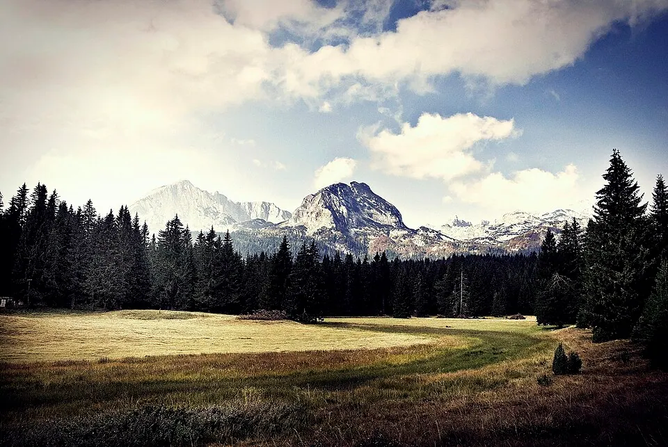
The Balkans by motorcycle: 10 roads from Montenegro to Albania and Bosnia
Ten Balkan roads for a motorcycle: the Durmitor ring, the Tara canyon, the Kotor serpentine, Llogara Pass, the Albanian Riviera, Theth and the Neretva canyon.
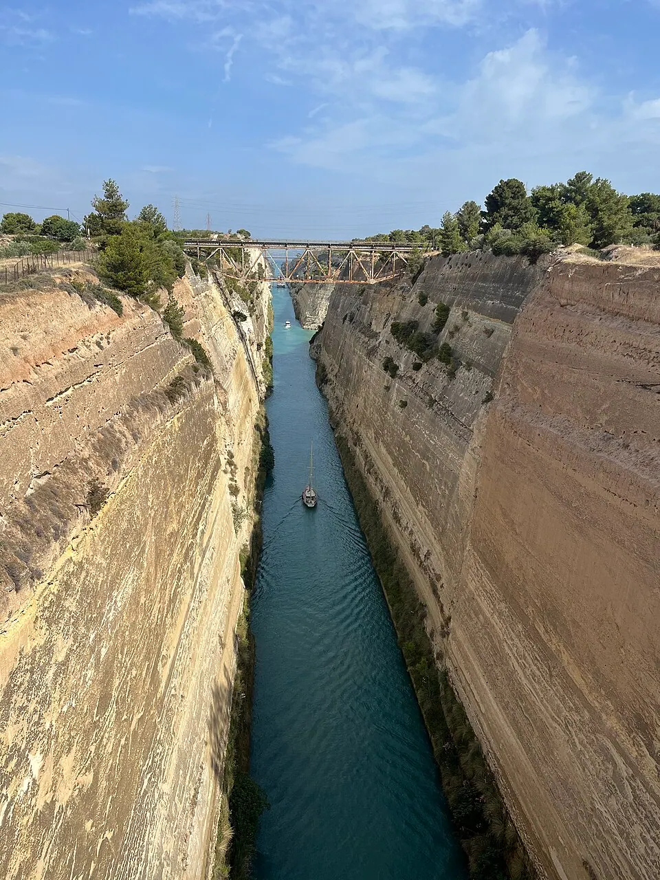
Greece by car: the Peloponnese, Delphi and Meteora in ten days
A ten-day road trip in Greece by car from Athens: Corinth, Mycenae, Nafplio, Epidaurus, Monemvasia, the Mani, Olympia, Delphi and Meteora, with where to stop and how long.


.jpg)


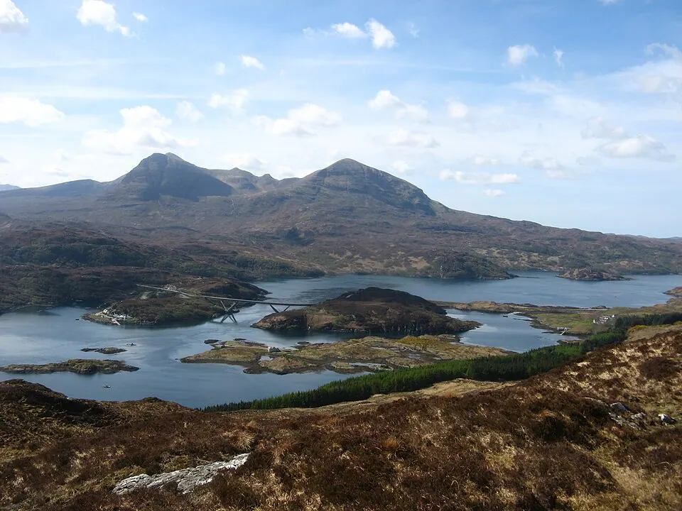
Scotland by motorcycle: the North Coast 500 and the roads beyond it
The North Coast 500 and six other Scottish roads for a motorcycle trip: Bealach na Bà, Glencoe, Skye, the Cairngorms and the ferry to Mull.