Road trip ideas › By motorcycle
The Balkans by motorcycle: 10 roads from Montenegro to Albania and Bosnia
The western Balkans are where riders go once the Alps feel too tidy: empty mountain roads, canyons, a coast with no barriers, and fuel and food at half the price. These ten roads make a two-week loop from Dubrovnik.
Plan this trip1 The Durmitor ring
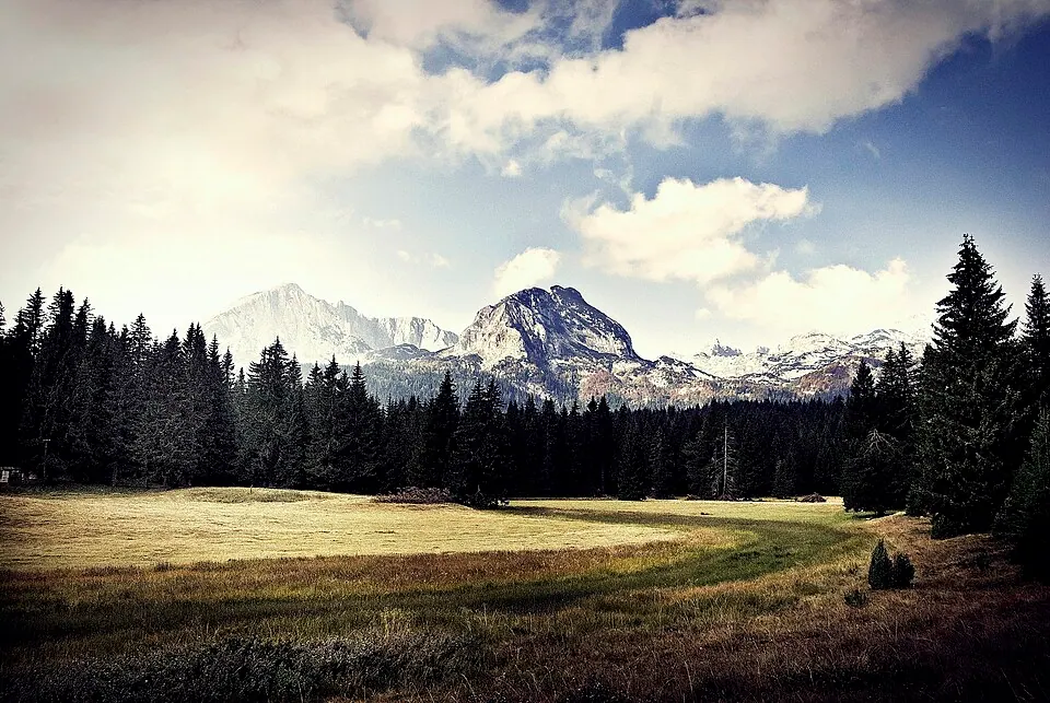
Photo by Andrea Polereczky, CC BY-SA 3.0, via Wikimedia Commons. Durmitor is a massif located in northwestern Montenegro. It is part of the Dinaric Alps. Wikipedia
The road around the massif from Žabljak: a single lane in places, empty, with the Black Lake, the Sedlo pass and views over the Tara canyon. Two hours that feel like a day in the Alps.
Written about in 45 languagesStart a trip here
2 Tara River Canyon
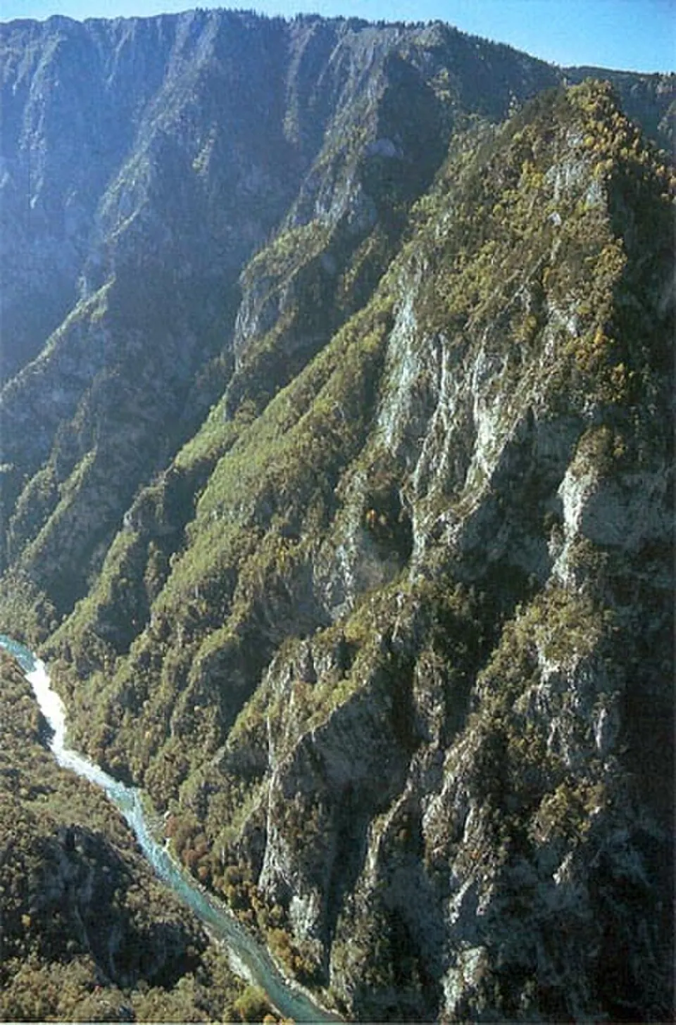
Photo by Milan B., CC BY-SA 3.0, via Wikimedia Commons. The Tara River Canyon, also known as the Tara River Gorge, is the river canyon of the Tara river. It is for the most part located in Montenegro, and in Bosnia and Herzegovina. Wikipedia
One of the deepest canyons in Europe, with the road along its rim and the Đurđevića Tara bridge across it. Ride it in the morning before the rafting buses.
Written about in 18 languagesStart a trip here
3 The Kotor serpentine to Lovćen
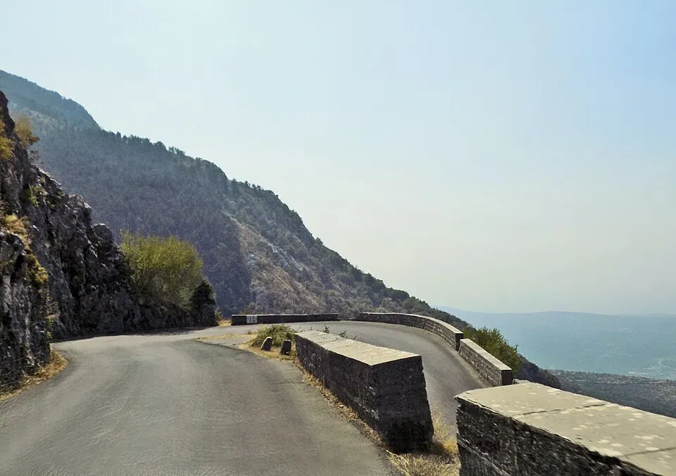
Photo by Milica Buha, CC BY-SA 4.0, via Wikimedia Commons. Lovćen is a mountain and national park in southwestern Montenegro. It is the inspiration behind the names Montenegro and Crna Gora, both of which mean 'Black Mountain' and refer to the appearance of Mount Lovćen when covered in dense forests. Wikipedia
The old road from Kotor to Cetinje climbs the wall of the bay in a long chain of hairpins, with the whole Bay of Kotor below. Narrow and one lane in places; go up early.
Written about in 35 languagesStart a trip here
4 Prokletije, the Accursed Mountains
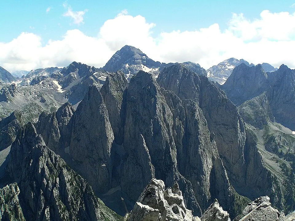
Photo by Vlado Vujisic, CC BY-SA 3.0, via Wikimedia Commons. The Accursed Mountains, is a mountain range in coastal Southeast Europe adjacent to the Adriatic Sea. Wikipedia
The wildest range in the Balkans, on the border of Montenegro, Albania and Kosovo. The road up the Grbaja valley from Gusinje ends under walls of limestone.
Written about in 38 languagesStart a trip here
5 The road to Theth
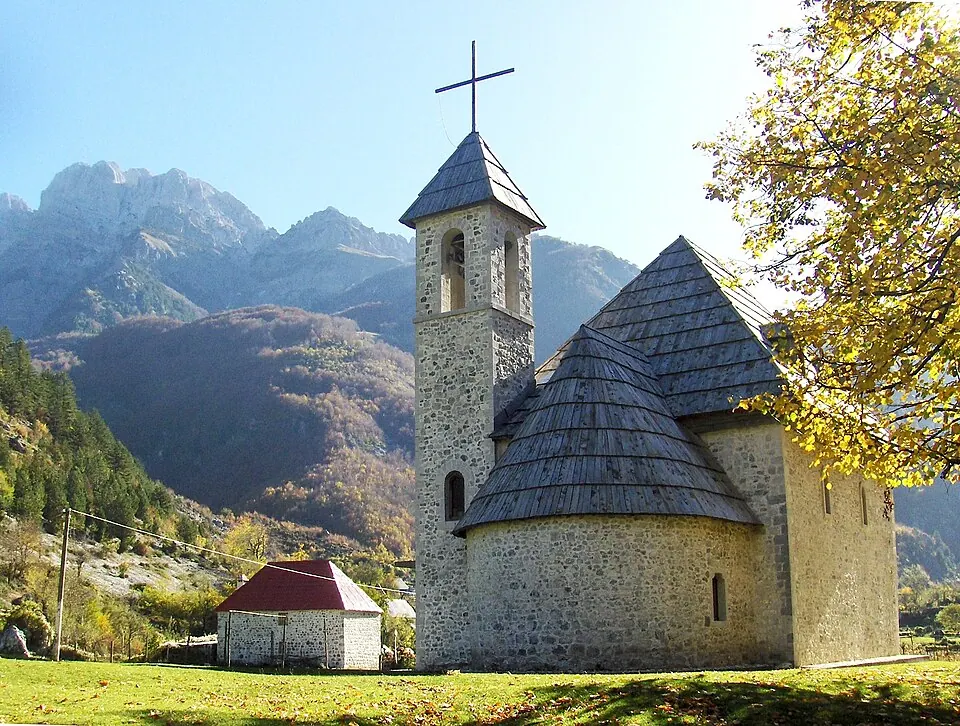
Photo by peter_h, CC0, via Wikimedia Commons. Theth is a small village in Shkodër County, Albania. Following the 2015 local government reform, it became part of the municipality Shkodër, and has been declared a Protected Historic Center and a National Park by the Albanian Government. Wikipedia
From Shkodër over the Thore pass into a valley that had no paved road until recently. Paved now, still steep and narrow, and one of the great mountain roads of Albania.
Written about in 15 languagesStart a trip here
6 Llogara Pass
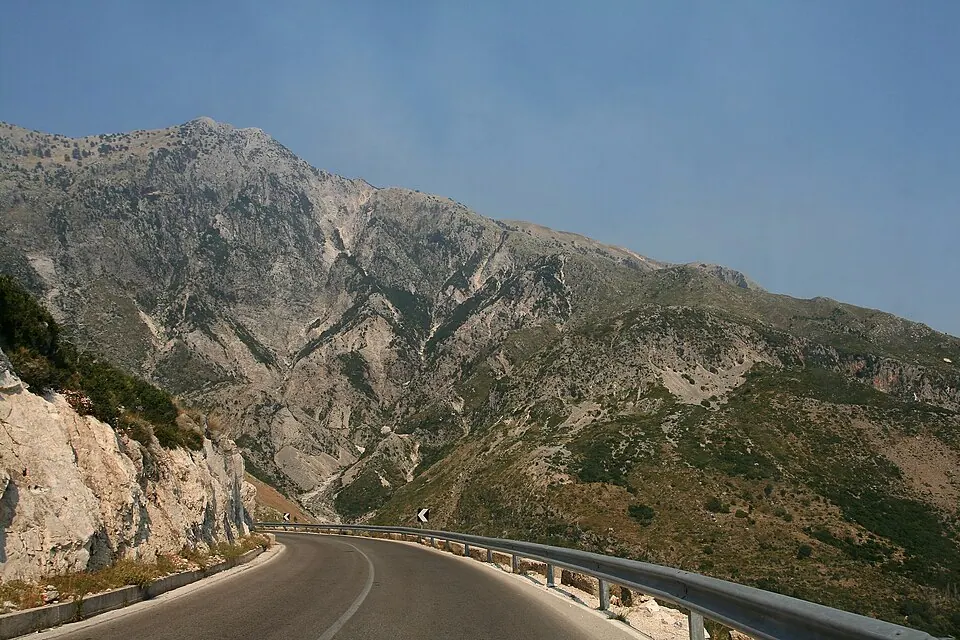
Photo by Dori, CC BY 2.5, via Wikimedia Commons. The Llogara Pass; (also Llogora in local dialect) is a high mountain pass within the Ceraunian Mountains along the Albanian Riviera. It connects the Dukat Valley in the north with Himarë in the south. Wikipedia
The SH8 climbs from the plain at Vlorë through pine forest to the pass, then drops to the sea in hairpins with the whole Riviera below. The best single hour of road in Albania.
Written about in 15 languagesStart a trip here
7 Albanian Riviera
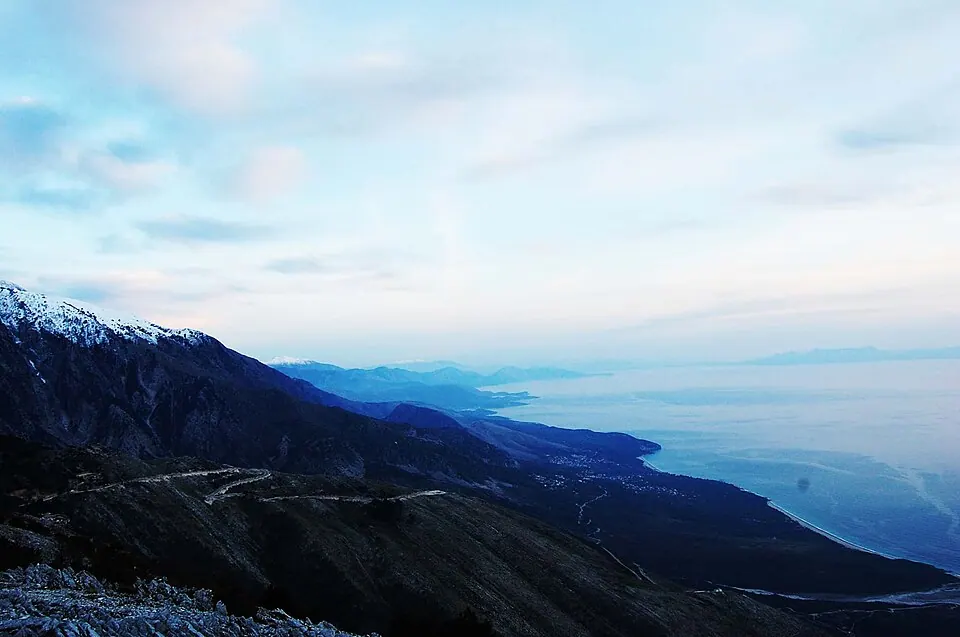
Photo by godo godaj, CC BY 2.0, via Wikimedia Commons. The Albanian Riviera, also popularly known as Bregu, is a coastline along the north-eastern Ionian Sea in the Mediterranean Sea, encompassing the districts of Sarandë and Vlorë in south-western Albania. Wikipedia
From Dhërmi to Sarandë the coast road hangs above beaches that were empty twenty years ago. Still quiet outside August; stop in Himarë for lunch.
Written about in 26 languagesStart a trip here
8 Mavrovo National Park
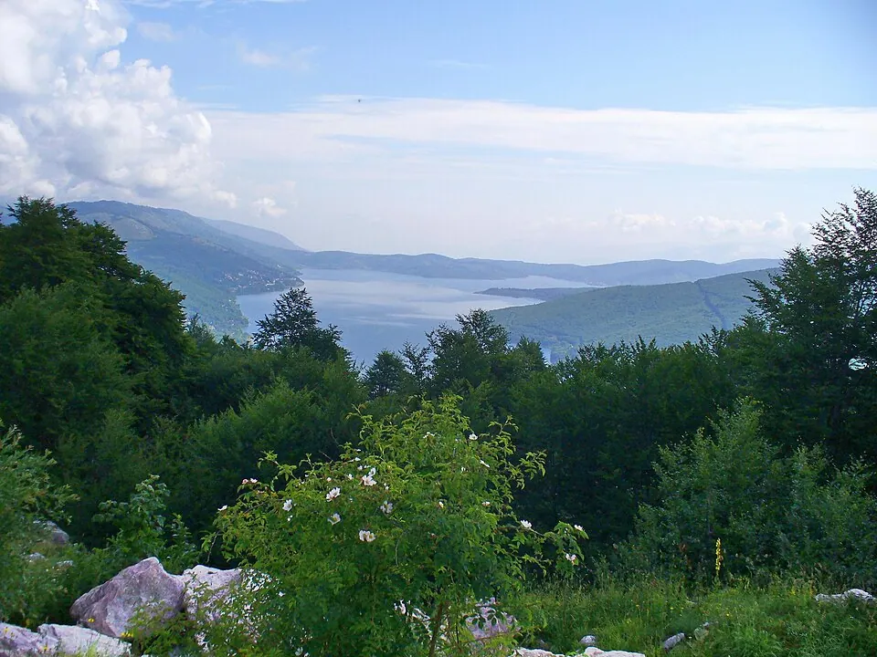
Photo by Novica Nakov, CC BY-SA 2.0, via Wikimedia Commons. Mavrovo National Park is the largest of the four national parks of North Macedonia, within the borders of the municipality of Mavrovo and Rostuse. Wikipedia
North Macedonia's mountain park, with the road along Lake Mavrovo and over to the Radika canyon and Debar. Few riders come here; the roads are good.
Written about in 30 languagesStart a trip here
9 The Neretva canyon, Mostar to Jablanica
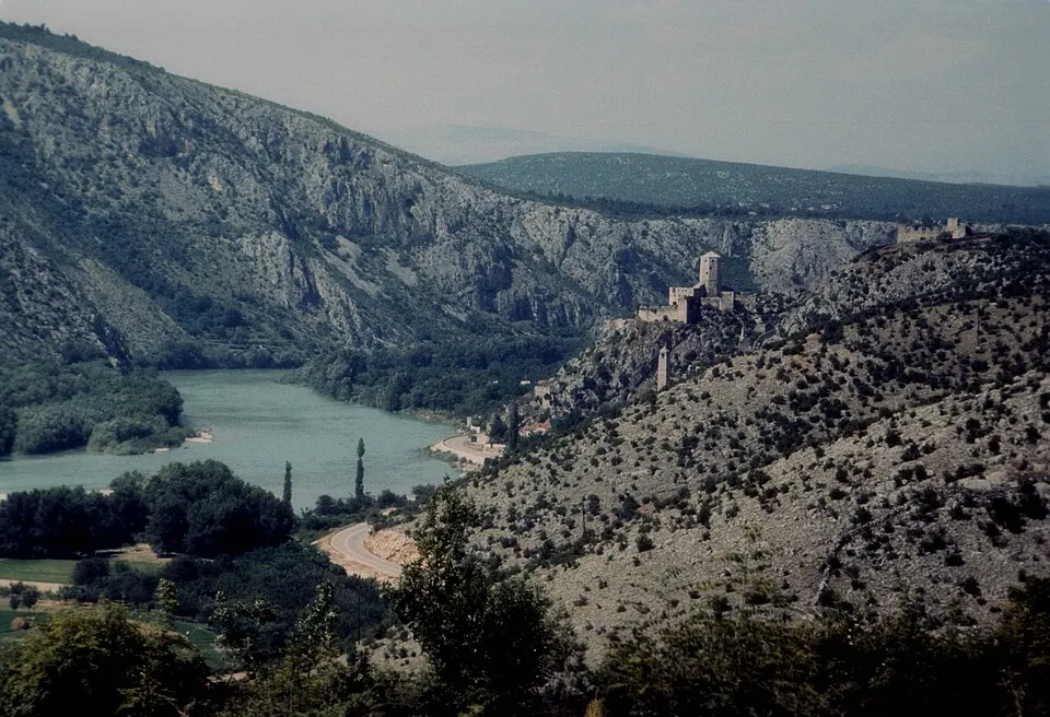
Photo by JERRYE AND ROY KLOTZ MD, CC BY-SA 3.0, via Wikimedia Commons. The Neretva, also known as Narenta, is one of the largest rivers of the eastern part of the Adriatic basin. Four hydroelectric power plants with large dams (higher than 15 metres) provide flood protection, electricity and water storage. Wikipedia
The M17 follows the green river through its canyon between Mostar and Jablanica, with the old bridge in Mostar at one end. Busy with trucks; ride it early or late.
Written about in 61 languagesStart a trip here
10 Sutjeska National Park
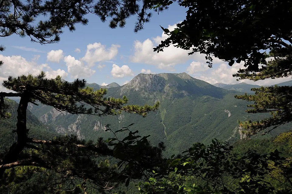
Photo by Budzak2, CC BY-SA 4.0, via Wikimedia Commons. The Sutjeska National Park is a national park located in Bosnia and Herzegovina. Established in 1962, it is Bosnia and Herzegovina's oldest national park. Wikipedia
Bosnia's oldest national park on the road from Foča to Trebinje: the Sutjeska gorge, the Perućica primeval forest and the Tjentište memorial. Empty roads and good tarmac.
Written about in 34 languagesStart a trip here
Riding or driving it
Borders take time here: count on half an hour at each, more in summer, and carry a green card for Albania and Bosnia. Plan 200 to 250 km days; the roads are slower than their length suggests. Roadlegs puts the borders on the day cards and keeps the days short enough to enjoy them.
Open the plan in Roadlegs How the planner handles this vehicle.
About the facts and photos
The descriptions in italics are the opening sentences of the Wikipedia article for each place, used under CC BY-SA 4.0, fetched on 6 October 2026. Photos are from Wikimedia Commons under the licence named beside each one. "Written about in N languages" counts the Wikipedia editions that have an article, from Wikidata; it is a measure of how well known a place is, not a rating. Everything else is the author's own opinion. Roads close with the seasons: check before you go.
More ideas
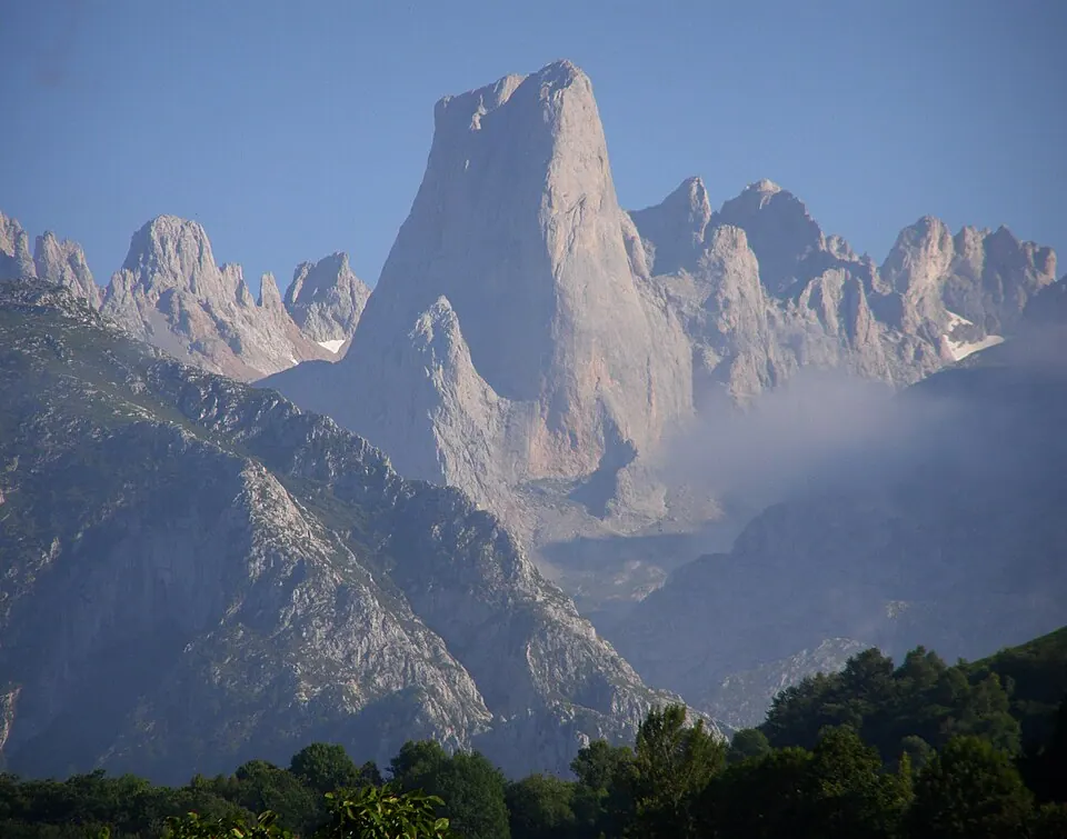
Best motorcycle roads in Spain and Portugal
Eight roads for a motorcycle trip in Iberia: Picos de Europa, the Pyrenees, Sierra Nevada, the Algarve and the N2 through Portugal.
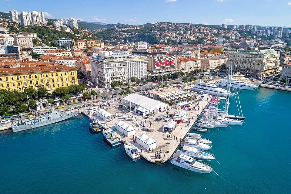
Croatia by car: the Adriatic coast road from Rijeka to Dubrovnik
A one-week car trip along Croatia's Adriatic Highway with the islands, Plitvice, Zadar, Split, Hvar and Dubrovnik, and the ferries that connect them.
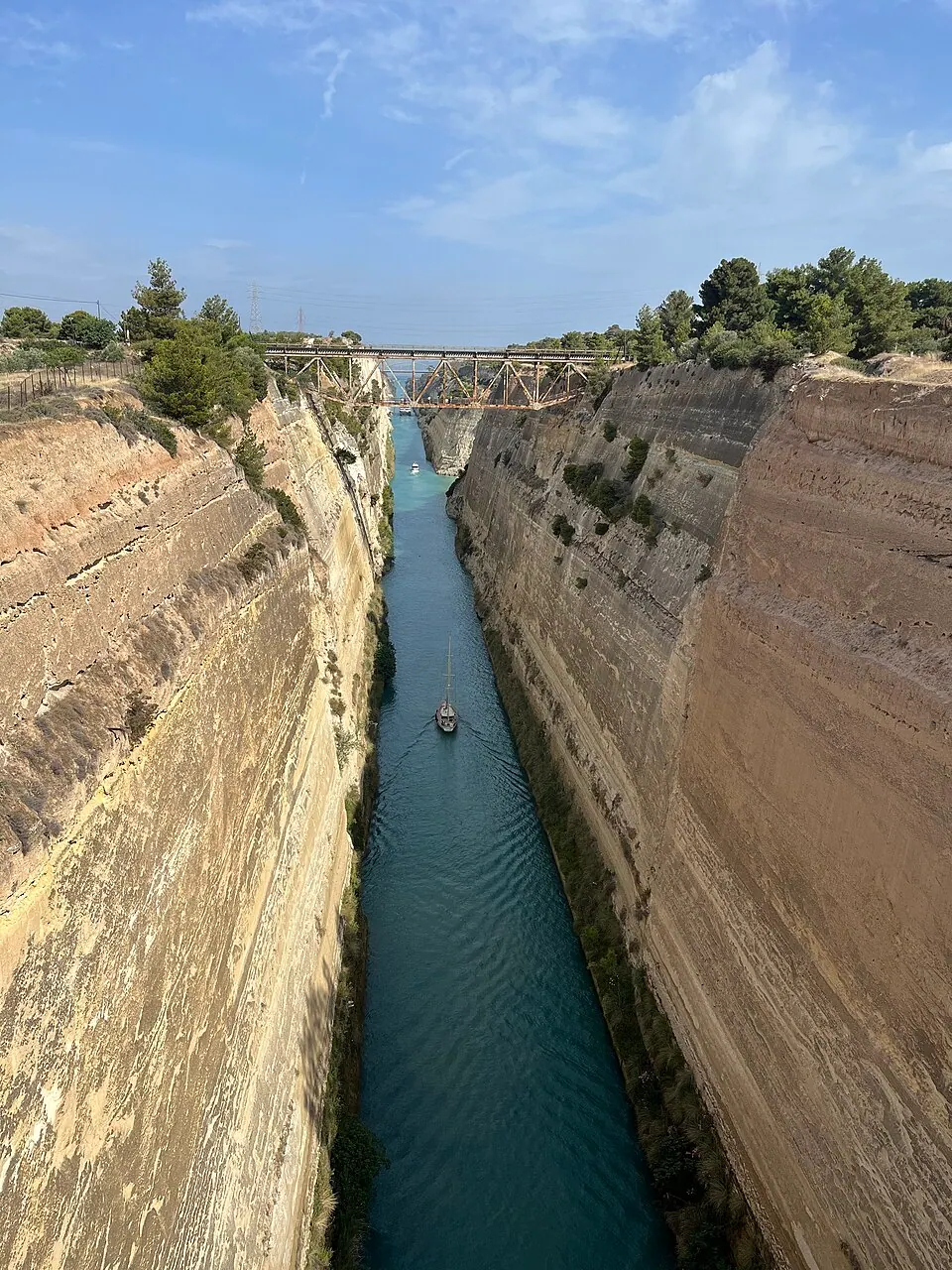
Greece by car: the Peloponnese, Delphi and Meteora in ten days
A ten-day road trip in Greece by car from Athens: Corinth, Mycenae, Nafplio, Epidaurus, Monemvasia, the Mani, Olympia, Delphi and Meteora, with where to stop and how long.


_02.jpg)
_sa_Karanfila_(2480).jpg)


Andalusia by campervan in winter: 10 stops where it is still warm
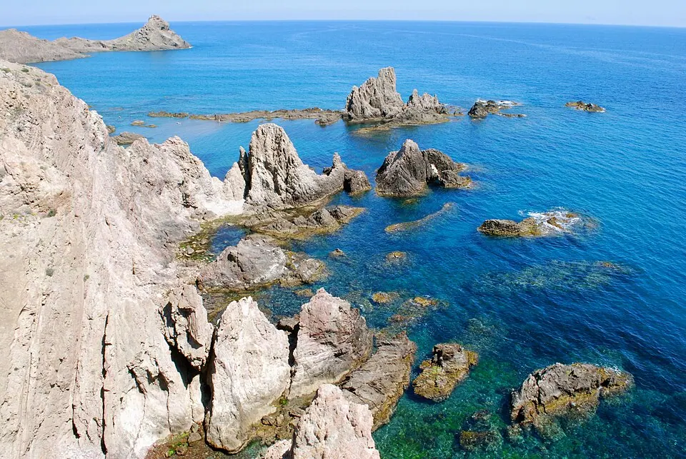
A winter campervan route through Andalusia: Cabo de Gata, Granada, the Sierra Nevada, Ronda, Grazalema, Cádiz, Tarifa, Doñana, Seville and Córdoba, with where to park.