Road trip ideas › By motorcycle
Norway by motorcycle: the fjord roads worth the ferry
Norway is expensive, slow and wet, and still one of the best places in the world to ride a motorcycle. These seven roads are why.
Plan this trip1 Trollstigen
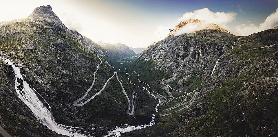
Photo by Clementp.fr, CC BY-SA 4.0, via Wikimedia Commons. Trollstigen is a serpentine mountain road and pass in Rauma Municipality, Møre og Romsdal County, Norway. It is part of Norwegian County Road 63 that connects the town of Åndalsnes in Rauma and the village of Valldal in Fjord Municipality. Wikipedia
The icon. The viewing platforms at the top are worth the stop; the road itself is over in twenty minutes.
Written about in 26 languagesStart a trip here
2 Geiranger and the Eagle Road
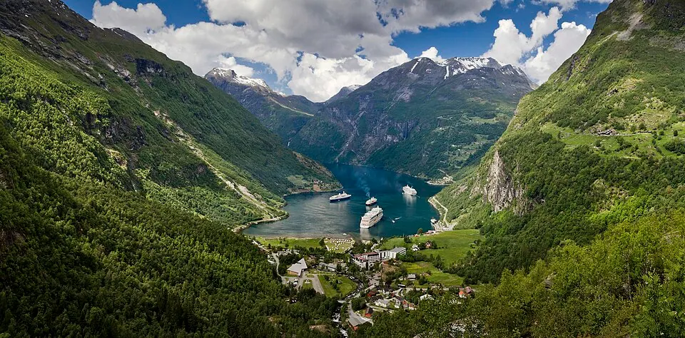
Photo by Ximonic (Simo Räsänen), CC BY-SA 3.0, via Wikimedia Commons. Geiranger is a small tourist village in Sunnmøre region of Møre og Romsdal county in the western part of Norway. It is located in Stranda Municipality and at the end of the Geirangerfjorden, which is a branch of the large Storfjorden. Wikipedia
The Ørnevegen climbs out of Geiranger in eleven bends with the fjord and the cruise ships below. Combine with Trollstigen in one day.
Written about in 32 languagesStart a trip here
3 Atlantic Ocean Road
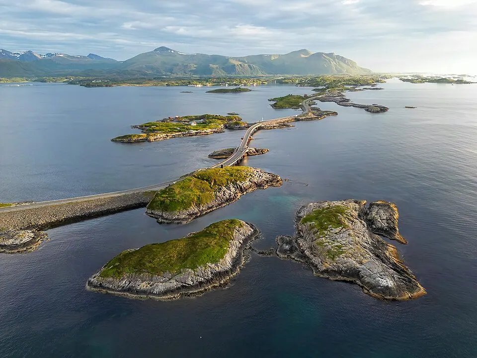
Photo by Stefan V. Baumgartner, CC BY-SA 4.0, via Wikimedia Commons. The Atlantic Ocean Road or the Atlantic Road is an 8.3-kilometer (5.2 mi) long section of County Road 64 that runs through an archipelago that crosses Hustadvika Municipality and Averøy Municipality in Møre og Romsdal county, Norway. Wikipedia
Eight bridges over the open sea. Go in a storm if you dare; go at sunset if you can.
Written about in 27 languagesStart a trip here
4 Sognefjellet

Photo by Ximonic, Simo Räsänen, CC BY-SA 3.0, via Wikimedia Commons. Sognefjellsvegen (Nynorsk) or Sognefjellsveien (Bokmål) is the highest mountain pass road in Northern Europe. Part of County Road 55, it is located in Innlandet and Vestland counties in Norway. Wikipedia
Northern Europe's highest pass road, 1,434 m, through snow walls well into summer. From Lom to the Sognefjord.
Written about in 5 languagesStart a trip here
5 Aurlandsfjellet (the Snow Road)
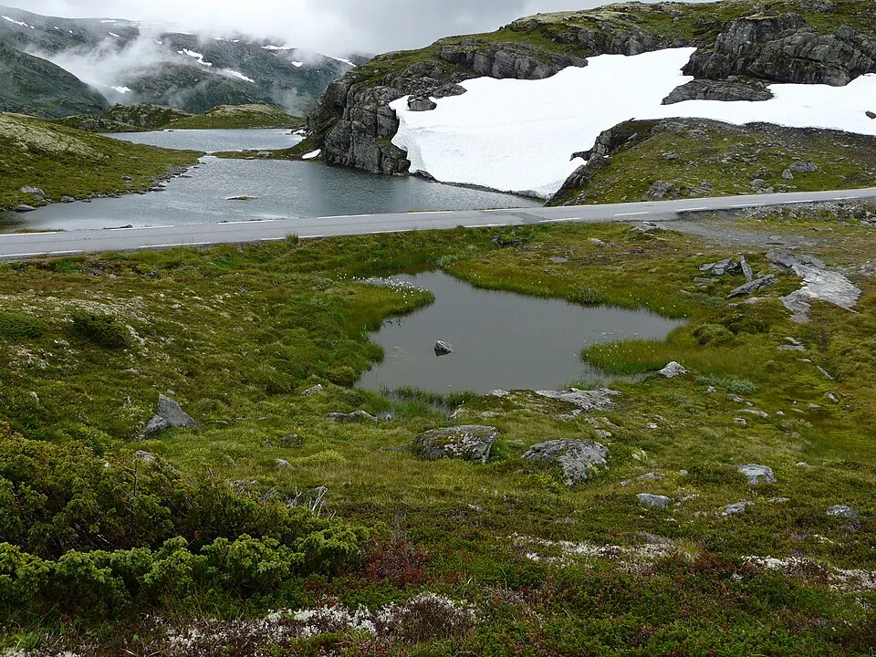
Photo by G.Lanting, CC BY 3.0, via Wikimedia Commons. Aurlandsfjellet is a mountainous area and plateau along the border between Aurland Municipality and Lærdal Municipality in Vestland county, Norway. Norwegian County Road 5627 runs across the mountains, while the Lærdal Tunnel runs through it. Wikipedia
The alternative to the 24 km Lærdal tunnel: a narrow road over the bare plateau to the Stegastein viewpoint.
Written about in 2 languagesStart a trip here
6 Hardangervidda (Rv7)
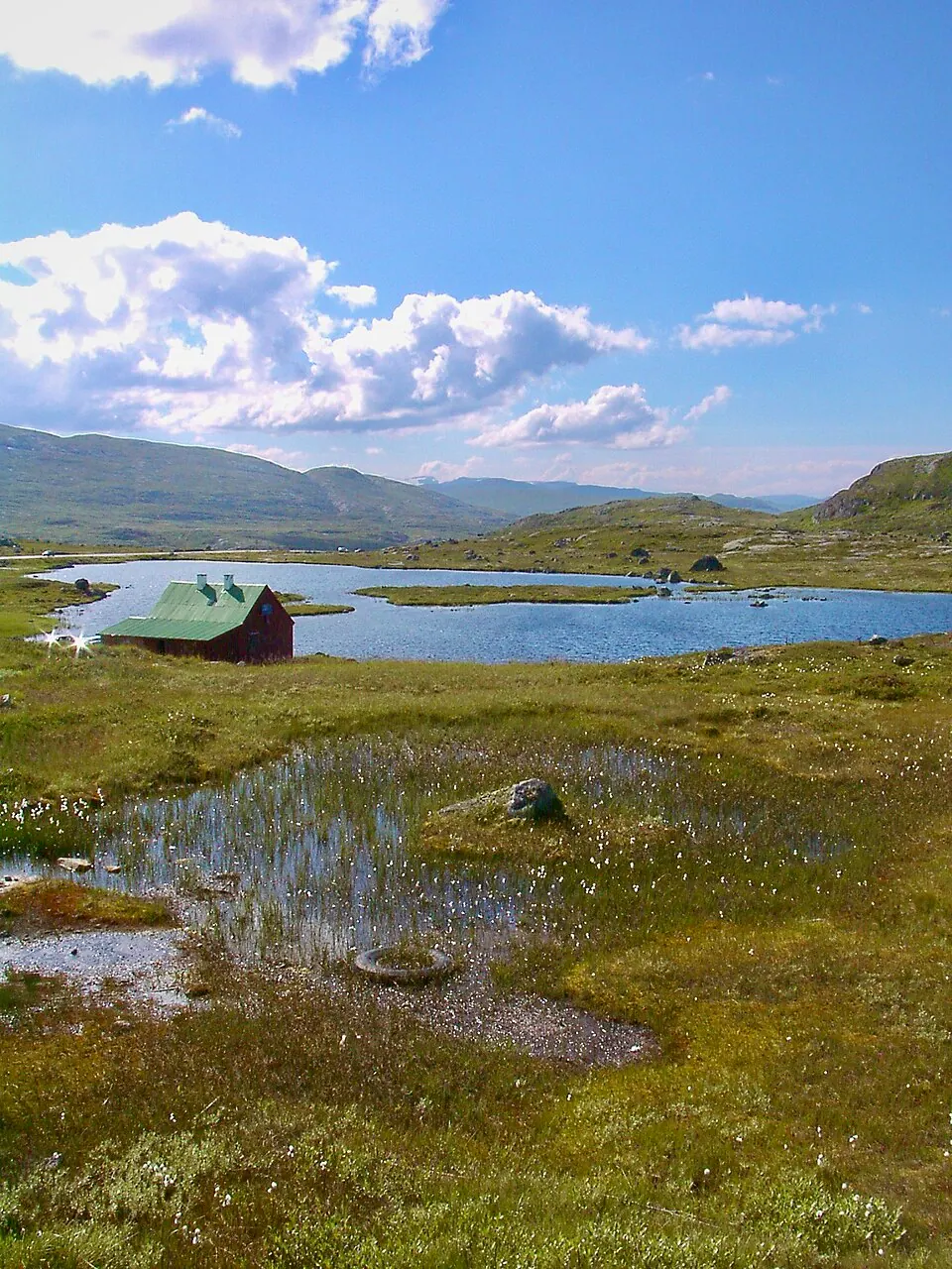
Photo, CC BY-SA 3.0, via Wikimedia Commons. Hardangervidda is a mountain plateau in central southern Norway, covering parts of Vestland, Telemark, and Buskerud counties. Wikipedia
The plateau road from Oslo toward Bergen: big sky, reindeer, and the Vøringsfossen waterfall at the western edge.
Written about in 26 languagesStart a trip here
7 Lofoten
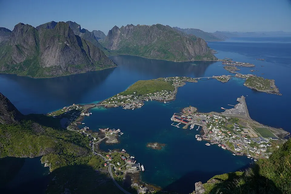
Photo by Lukas Beck, CC BY 4.0, via Wikimedia Commons. Lofoten is an archipelago and a traditional district in the county of Nordland, Norway. Lofoten has distinctive scenery with dramatic mountains and peaks, open sea and sheltered bays, beaches, and untouched lands. Wikipedia
Far north, but the E10 along the Lofoten islands is the most beautiful road in the country. Fly to Bodø and rent, or ride for a week to get there.
Written about in 71 languagesStart a trip here
Riding or driving it
Plan 250 km days in Norway, not 400: ferries, speed limits and photo stops eat the hours. Roadlegs shows each day's driving time with breaks, and the daylight line is reassuring in June and essential in September.
Open the plan in Roadlegs How the planner handles this vehicle.
About the facts and photos
The descriptions in italics are the opening sentences of the Wikipedia article for each place, used under CC BY-SA 4.0, fetched on 6 October 2026. Photos are from Wikimedia Commons under the licence named beside each one. "Written about in N languages" counts the Wikipedia editions that have an article, from Wikidata; it is a measure of how well known a place is, not a rating. Everything else is the author's own opinion. Roads close with the seasons: check before you go.
More ideas
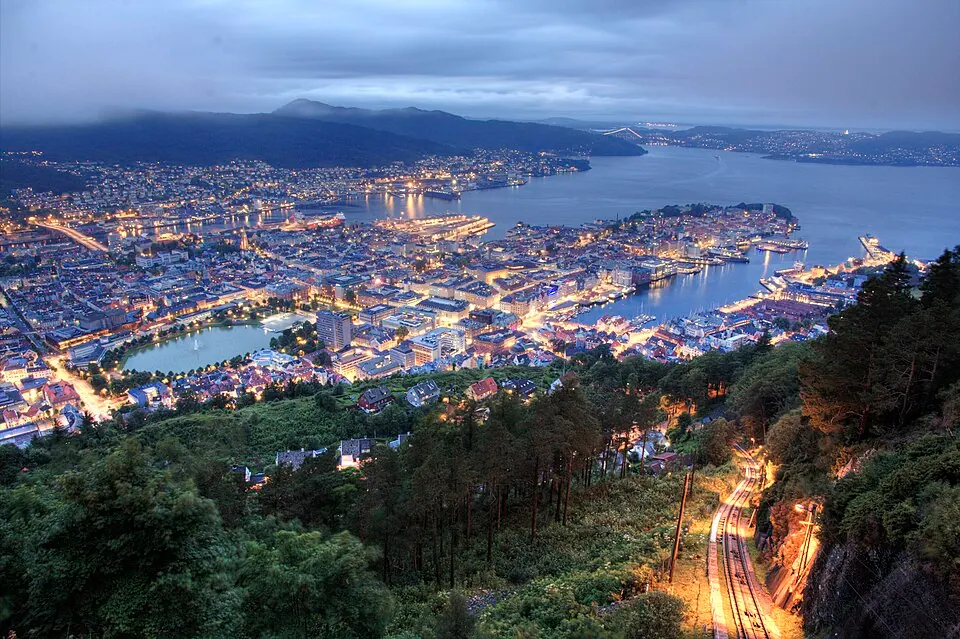
A fjord road trip in Norway by car: 7 stops in 7 days
A one-week car itinerary through the Norwegian fjords from Bergen to Ålesund: Hardanger, Flåm, Sognefjord, Geiranger, Trollstigen and the Atlantic Road.
Norway by campervan: the best regions, campsites and rules
Where to camp in Norway with a campervan: the fjord regions worth a week, the ferry costs, the right-to-roam limits and the AutoPASS tolls.
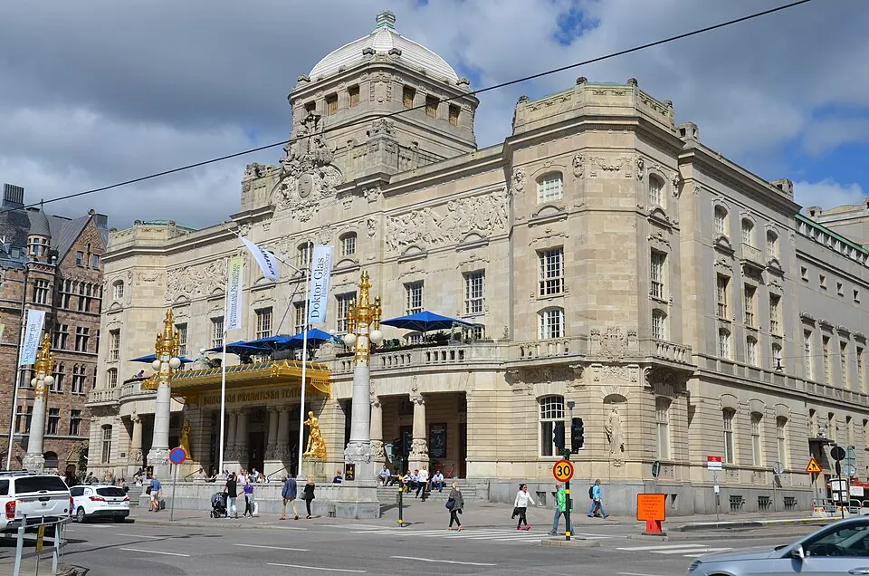
Sweden and Finland by campervan: lakes, coast, right to roam
A two-week campervan route through Sweden and Finland: Stockholm, the High Coast, the Finnish lakeland, Helsinki and the ferry back, with the camping rules.


The 10 most epic motorcycle roads in Europe
Ten roads riders travel across Europe for: Stelvio, Transfăgărășan, Grossglockner, Trollstigen and more, with what makes each one worth the trip.