Road trip ideas › By campervan
France by campervan: how aires work, and five routes
France has thousands of aires: council-run stopovers for motorhomes, often free, often beside the river. Here is how they work and five routes built around them.
Plan this trip1 What an aire is
A motorhome (or coach) is a type of self-propelled recreational vehicle (RV) which is, as the name suggests, like a home on wheels. Wikipedia
A parking area for motorhomes with water, waste and usually electricity, run by the commune. One to three nights, no tents, no awnings. Pay at a machine or not at all.
Written about in 11 languages
2 Brittany
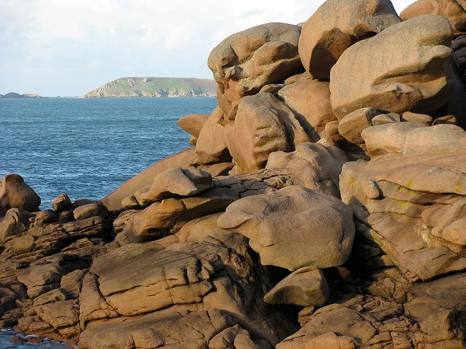
Photo by No machine-readable author provided. Gilbertus assumed (based on copyright claim, CC BY-SA 3.0, via Wikimedia Commons. Brittany is a peninsula, historical region and cultural area in the north-west of modern France, covering the western part of what was known as Armorica in Roman Gaul. Wikipedia
The Breton coast is one aire after another: the Pink Granite Coast, Crozon and the Gulf of Morbihan.
Written about in 108 languagesStart a trip here
3 Loire Valley
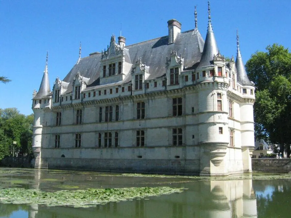
Photo, CC BY-SA 3.0, via Wikimedia Commons. The Loire Valley, spanning 280 kilometres (170 mi), is a valley located in the middle stretch of the Loire river in central France, in both the administrative regions Pays de la Loire and Centre-Val de Loire. Wikipedia
Château to château with an aire in every town along the river, from Blois to Saumur.
Written about in 38 languagesStart a trip here
4 Dordogne
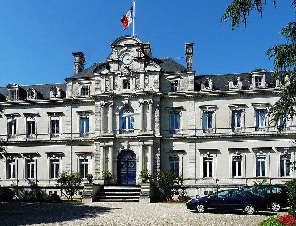
Photo by Père Igor, CC BY-SA 3.0, via Wikimedia Commons. Dordogne is a large rural department in southwest France, with its prefecture in Périgueux. Located in the Nouvelle-Aquitaine region roughly half-way between the Loire Valley and the Pyrenees, it is named after the river Dordogne, which runs through it. Wikipedia
Sarlat, the river villages and the prehistoric caves. Aires at Beynac and La Roque-Gageac on the water.
Written about in 91 languagesStart a trip here
5 Route des Grandes Alpes
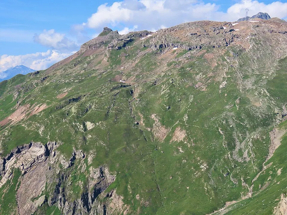
Photo by Rémih, CC BY-SA 4.0, via Wikimedia Commons. The Route des Grandes Alpes (RdGA) is a tourist itinerary through the French Alps between Lake Geneva and the French Riviera climbing all the high Alpine passes within France. This true classic trip is 720 km (447 mi) long. Wikipedia
A van can do most of the Route des Grandes Alpes; skip the Iseran and the Galibier if you are over 3.5 t or nervous.
Written about in 7 languagesStart a trip here
6 Verdon Gorge
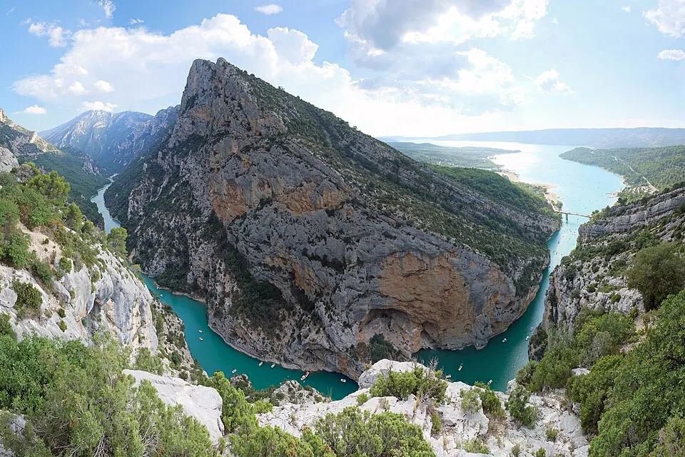
Photo by kallerna, CC BY-SA 4.0, via Wikimedia Commons. The Verdon Gorge is a river canyon located in the Provence-Alpes-Côte d'Azur region of Southeastern France. It is about 25 km (15.5 mi) long and up to 700 metres (0.4 mi) deep. Wikipedia
The gorge road is narrow but the aires at Moustiers and Castellane are good. Go before July.
Written about in 25 languagesStart a trip here
Riding or driving it
Roadlegs searches for campsites and caravan sites from OpenStreetMap around each night; many aires are mapped as caravan sites. Tick Avoid tolls and the French motorways drop out of the plan.
Open the plan in Roadlegs How the planner handles this vehicle.
About the facts and photos
The descriptions in italics are the opening sentences of the Wikipedia article for each place, used under CC BY-SA 4.0, fetched on 6 October 2026. Photos are from Wikimedia Commons under the licence named beside each one. "Written about in N languages" counts the Wikipedia editions that have an article, from Wikidata; it is a measure of how well known a place is, not a rating. Everything else is the author's own opinion. Roads close with the seasons: check before you go.
More ideas
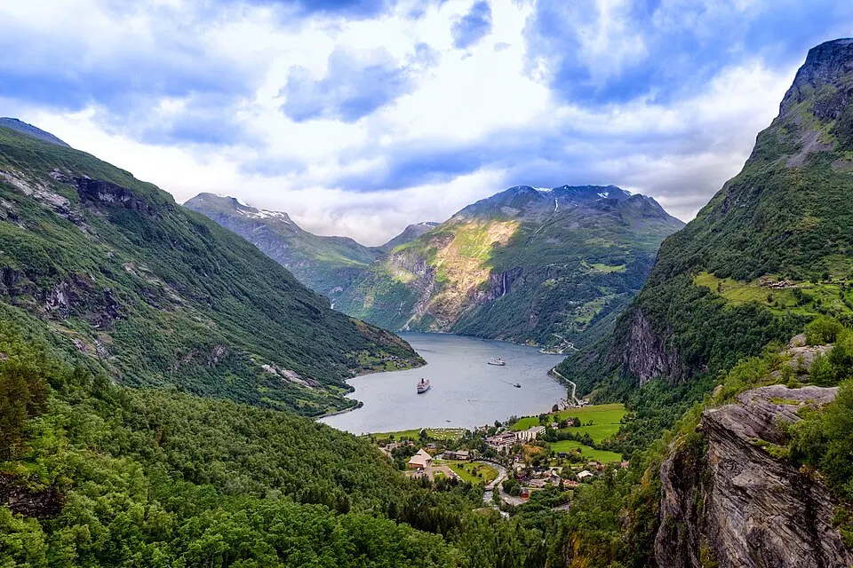
The 10 best campervan routes in Europe
Ten routes for a campervan or motorhome in Europe: Norway's fjords, the Scottish Highlands, the Atlantic coast of France and Portugal, Slovenia, Croatia and the Alps.
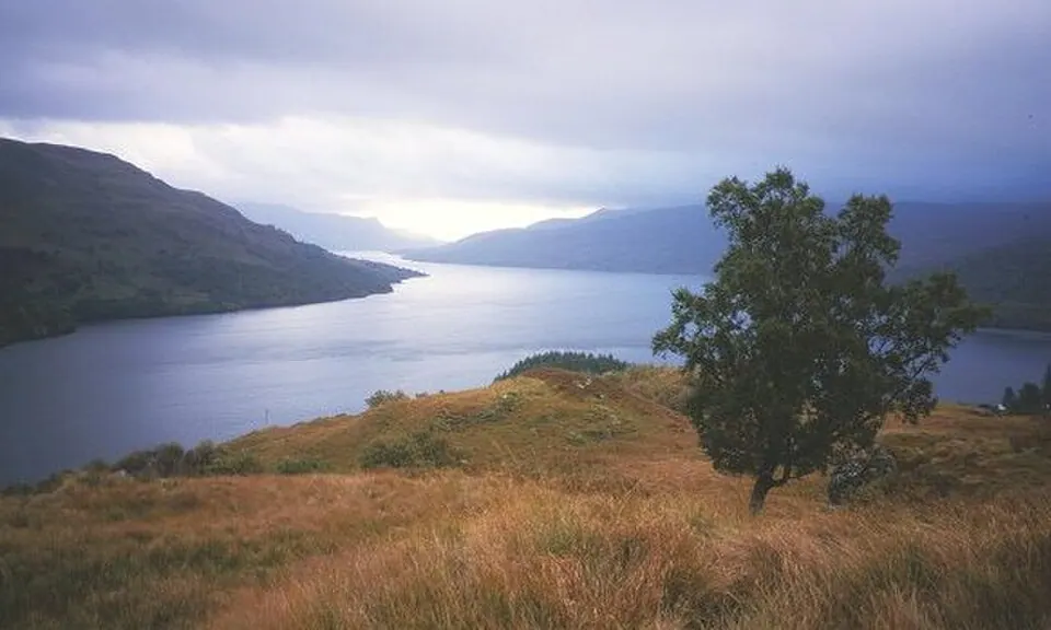
Scotland by campervan: a Highlands route with campsites
A ten-day campervan route through the Scottish Highlands: Glencoe, Skye, Torridon, the NC500 west coast, Orkney and the Cairngorms, with campsite stops.
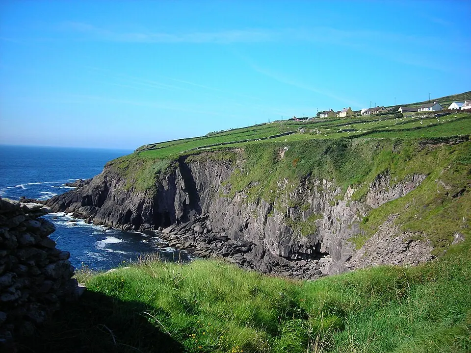
The Wild Atlantic Way by campervan: 10 stops from Kinsale to Donegal
Ireland's Wild Atlantic Way in a campervan: Beara, the Ring of Kerry, Dingle, the Cliffs of Moher, the Burren, Connemara, Achill, Slieve League and Inishowen, with campsites.
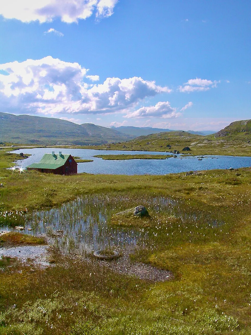


.JPG)


Norway by campervan: the best regions, campsites and rules
Where to camp in Norway with a campervan: the fjord regions worth a week, the ferry costs, the right-to-roam limits and the AutoPASS tolls.