The Pyrenees coast to coast by car: Atlantic to Mediterranean in 5 days
The Pyrenees are the quiet Alps: the same passes, half the traffic, and the sea at both ends. This route crosses them from the Atlantic to the Mediterranean, switching sides as the roads suggest.
Plan this trip1 Biarritz
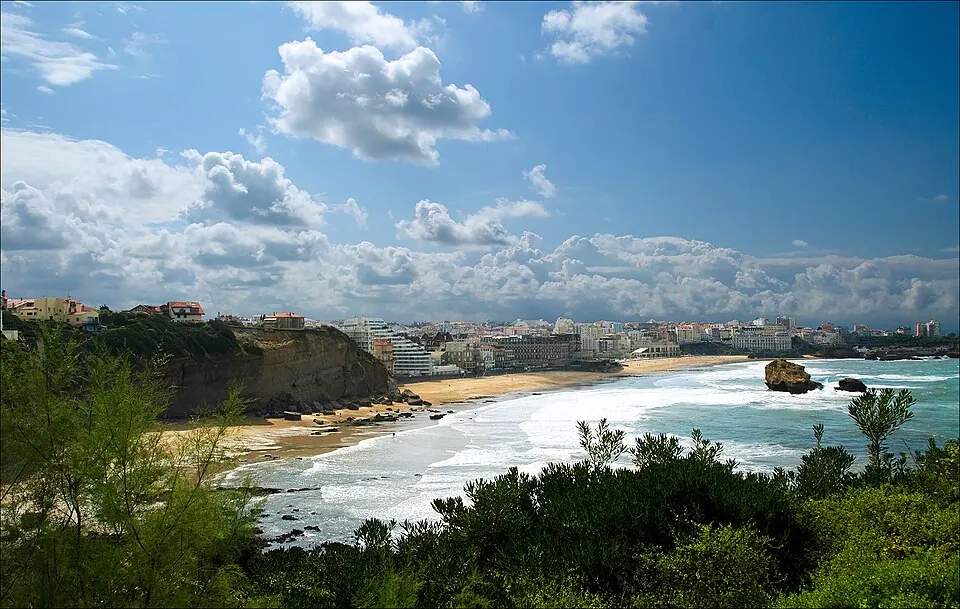
Photo by Nicolas G. Mertens. This picture is not in the public domain. If you want to use, CC BY-SA 4.0, via Wikimedia Commons. Biarritz is a city on the Bay of Biscay, on the Atlantic coast in the Pyrénées-Atlantiques department in the French Basque Country in southwestern France. It is located 35 kilometres (22 mi) from the border with Spain. Wikipedia
Start on the Atlantic, with a night in Saint-Jean-de-Luz if you prefer somewhere smaller.
Written about in 82 languagesStart a trip here
2 Col d'Aubisque
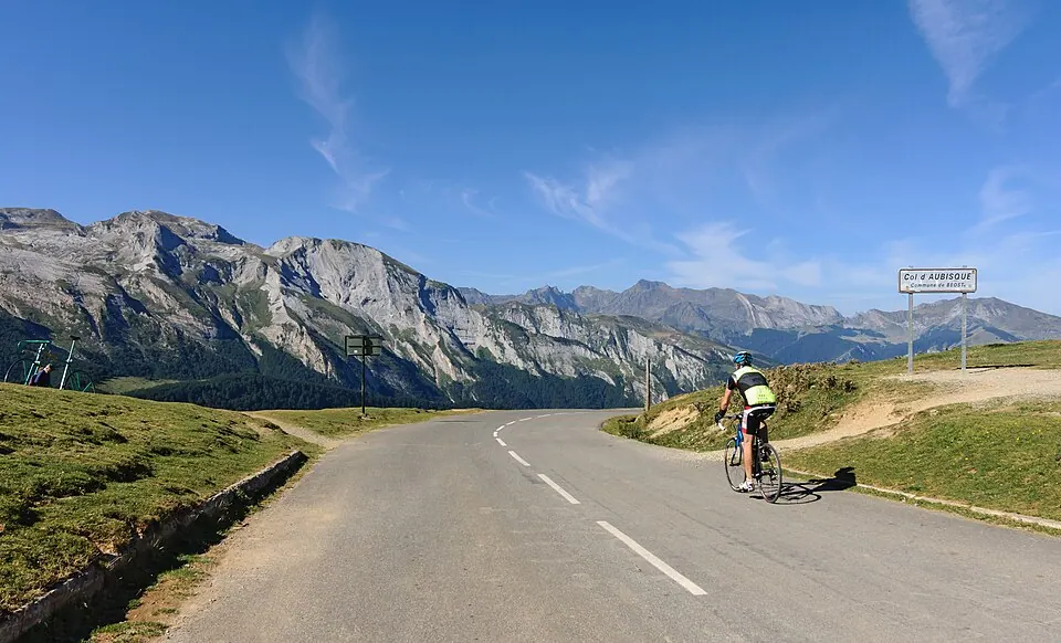
Photo by Myrabella, CC BY-SA 3.0, via Wikimedia Commons. The Col d'Aubisque (elevation 1,709 m (5,607 ft)) is a mountain pass in the Pyrenees 30 km (19 mi) south of Tarbes and Pau in the department of the Pyrénées-Atlantiques, in the Aquitaine region of France. Wikipedia
Day two: the first big pass, with the Cirque du Litor road cut into the cliff.
Written about in 17 languagesStart a trip here
3 Col du Tourmalet
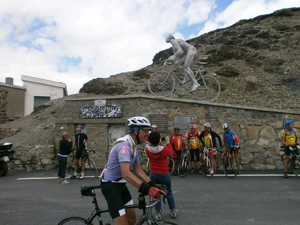
Photo by Adolfobrigido, CC BY-SA 3.0, via Wikimedia Commons. Col du Tourmalet is one of the highest paved mountain passes in the French Pyrenees, in the department of Hautes-Pyrénées. Sainte-Marie-de-Campan is at the foot on the eastern side and the ski station La Mongie two-thirds of the way up. Wikipedia
Day two, afternoon: the highest paved pass in the French Pyrenees. A night in Saint-Lary or Luchon.
Written about in 26 languagesStart a trip here
4 Aínsa and the Spanish side
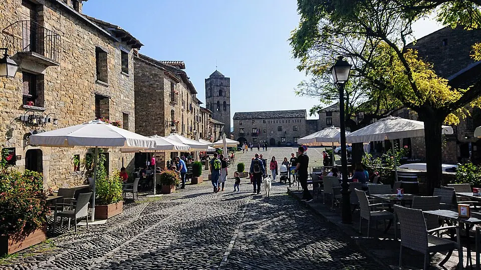
Photo by Heparina1985, CC BY-SA 4.0, via Wikimedia Commons. Aínsa is the main town in the Aínsa-Sobrarbe municipal territory, Aragon, Spain. It is located south of the Pyrenees, in a geologically interesting setting at the north of Huesca. Wikipedia
Day three: over the Bielsa tunnel to Spain, the Ordesa canyon, and the N-260 east.
Written about in 8 languagesStart a trip here
5 Andorra
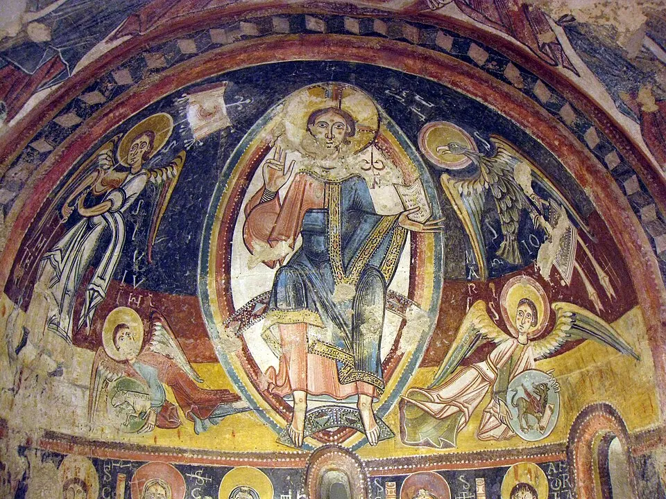
Photo by Enfo, CC BY-SA 3.0, via Wikimedia Commons. Andorra, officially the Principality of Andorra, is a landlocked country on the Iberian Peninsula, in the eastern Pyrenees in southwestern Europe, bordered by France to the north and Spain to the south. Wikipedia
Day four: the Port de la Bonaigua, then Andorra for the night and the duty-free fuel.
Written about in 286 languagesStart a trip here
6 Collioure
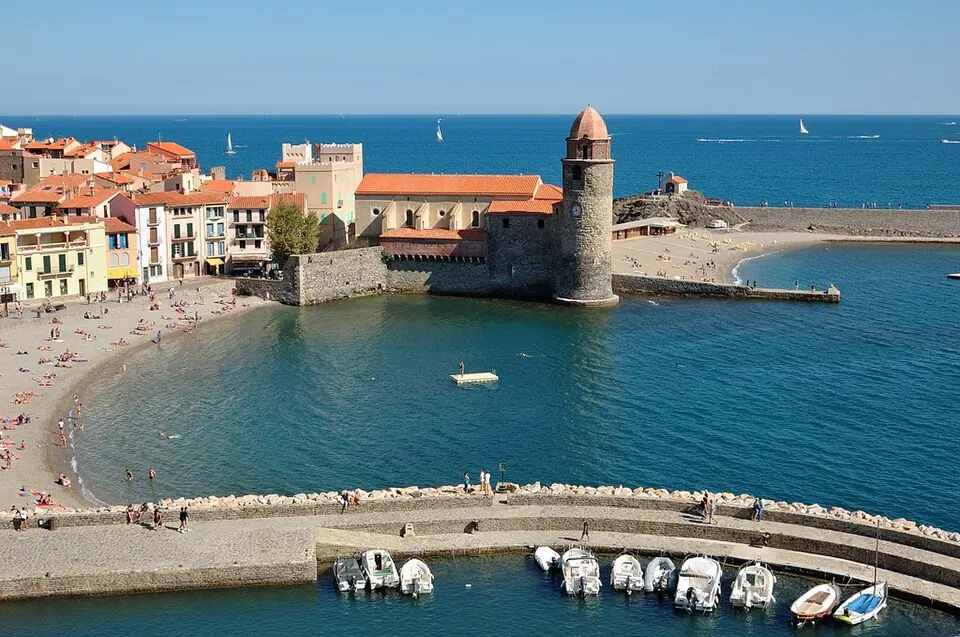
Photo by Doronenko, CC BY-SA 3.0, via Wikimedia Commons. Collioure is a commune in the southern French department of Pyrénées-Orientales. Wikipedia
Day five: down the Têt valley by Villefranche-de-Conflent to the Mediterranean.
Written about in 52 languagesStart a trip here
Riding or driving it
About 900 km in five days. In Roadlegs, mark the nights as stops and let the rest find its place; the plan lists France, Spain and Andorra and notes the French motorway tolls you can avoid.
Open the plan in Roadlegs How the planner handles this vehicle.
Day-by-day routes in the region
- Geneva to Nice by motorcycle481 km · 3 days
- Paris to Barcelona by car1,040 km · 4 days
- Nice to Barcelona by campervan667 km · 5 days
- Vilnius to Zell am See by motorcycle1,574 km · 8 days
About the facts and photos
The descriptions in italics are the opening sentences of the Wikipedia article for each place, used under CC BY-SA 4.0, fetched on 1 November 2026. Photos are from Wikimedia Commons under the licence named beside each one. "Written about in N languages" counts the Wikipedia editions that have an article, from Wikidata; it is a measure of how well known a place is, not a rating. Everything else is the author's own opinion. Roads close with the seasons: check before you go.
More ideas

The 10 most epic motorcycle roads in Europe
Ten roads riders travel across Europe for: Stelvio, Transfăgărășan, Grossglockner, Trollstigen and more, with what makes each one worth the trip.

The 10 best Alpine passes by motorcycle, with heights and seasons
Ten Alpine passes worth planning a motorcycle trip around, from the Stelvio to the Col de la Bonette, with elevations and the months they are usually open.
The twistiest roads in Europe, by hairpin count
Roads with the most bends per kilometre: Stelvio, Trollstigen, Sa Calobra, Vršič and others, ranked by what the numbers say about their hairpins.
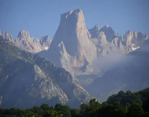


Best motorcycle roads in Spain and Portugal
Eight roads for a motorcycle trip in Iberia: Picos de Europa, the Pyrenees, Sierra Nevada, the Algarve and the N2 through Portugal.