Road trip ideas › By campervan
The Baltics and Poland by campervan in two weeks
Cheap campsites, empty roads, long summer evenings and a coastline nobody else has heard of. Here is a two-week loop through the Baltics and Poland, without touching Russia or Belarus.
Plan this trip1 Vilnius
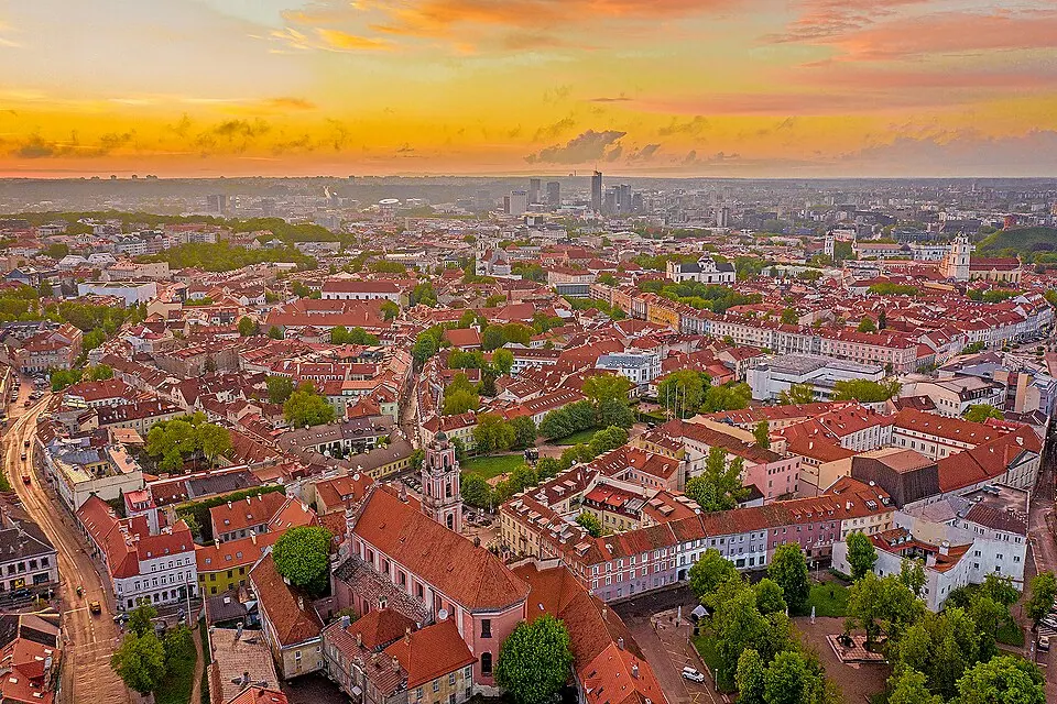
Photo by BigHead, CC BY-SA 4.0, via Wikimedia Commons. Vilnius is the capital and largest city of Lithuania and the most-populous city in the Baltic states. Wikipedia
Start in the capital; the campsite is on the edge of the city by the river.
Written about in 201 languagesStart a trip here
2 Curonian Spit
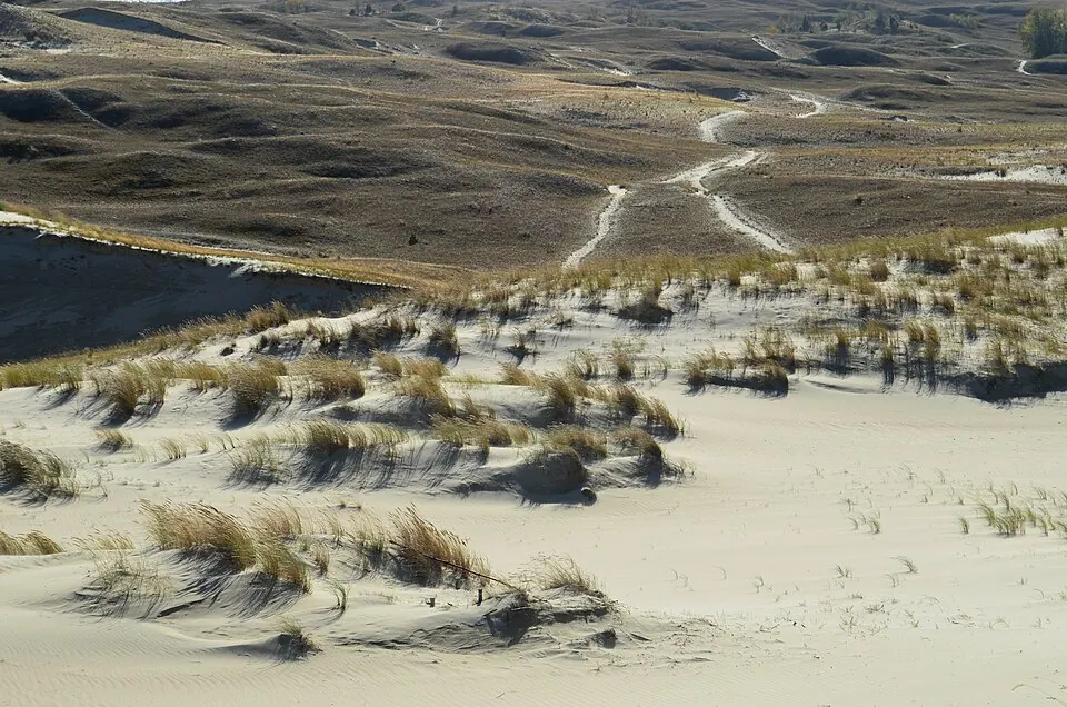
Photo by Hugo.arg (talk), Public domain, via Wikimedia Commons. The Curonian Spit, sometimes called Courish Split, is a 98-kilometre-long (61 mi), thin, curved sand-dune spit that separates the Curonian Lagoon from the Baltic Sea. It is a UNESCO World Heritage Site shared by Lithuania and Russia. Wikipedia
Days two and three: the ferry from Klaipėda and the campsite at Nida among the dunes. Roadlegs stops at Nida; the spit continues into Russian territory.
Written about in 60 languagesStart a trip here
3 Cape Kolka and the Livonian coast
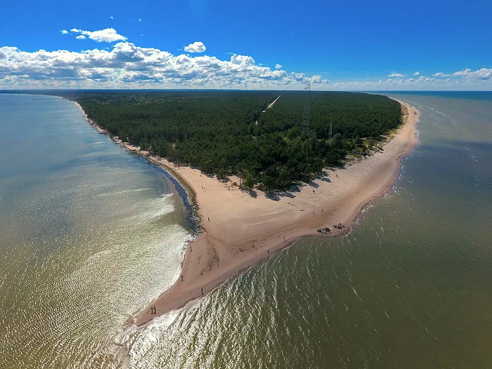
Photo by Edgars Šulcs, CC BY-SA 4.0, via Wikimedia Commons. Cape Kolka is a cape on the Baltic Sea, near the entry to Gulf of Riga, on the Livonian coast, in the Courland Peninsula of Latvia. The cape is surrounded by the Irbe Strait (Irbes šaurums) which serves as the natural border with Estonia. Wikipedia
Day four: Latvia's empty north-west corner, pine forest to the beach.
Written about in 28 languagesStart a trip here
4 Riga
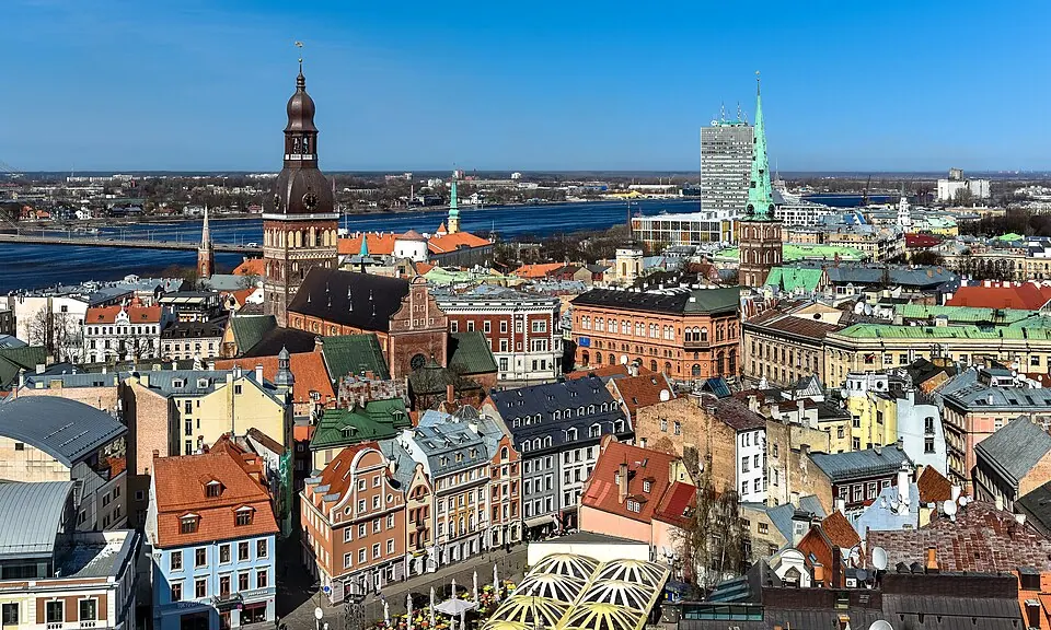
Photo by Jorge Franganillo from Barcelona, Spain, CC BY 2.0, via Wikimedia Commons. Riga, officially Riga State City, is the capital, primate, and largest city of Latvia and the second most-populous city in the Baltics. Home to 588,911 inhabitants (as of 2026), the city accounts for a third of Latvia's total population. Wikipedia
Day five: the old town and the central market.
Written about in 199 languagesStart a trip here
5 Saaremaa
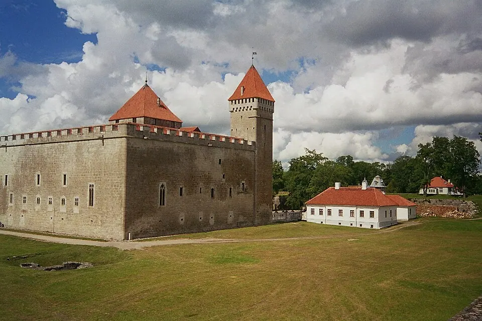
Photo by Sabine Hack (= Vonsoeckchen on de.wikipedia), CC BY-SA 3.0, via Wikimedia Commons. Saaremaa is the largest and most populous island in Estonia. Measuring 2,673 km2 (1,032 sq mi), its population is 31,435 (as of January 2020). Wikipedia
Days six and seven: the ferry to Estonia's biggest island, windmills, a meteorite crater and a quiet campsite at Kuressaare.
Written about in 73 languagesStart a trip here
6 Tallinn
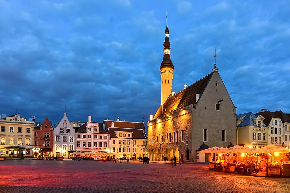
Photo by Jorge Franganillo, CC BY 2.0, via Wikimedia Commons. Tallinn is the capital and largest city of Estonia. Located on a bay in northern Estonia, on the shore of the Gulf of Finland of the Baltic Sea, it has a population of 452,563 as of 2026, making it the third most-populous city in the Baltics. Wikipedia
Day eight: the medieval walls, and the Helsinki ferry if you want a day in Finland.
Written about in 206 languagesStart a trip here
7 Lahemaa National Park
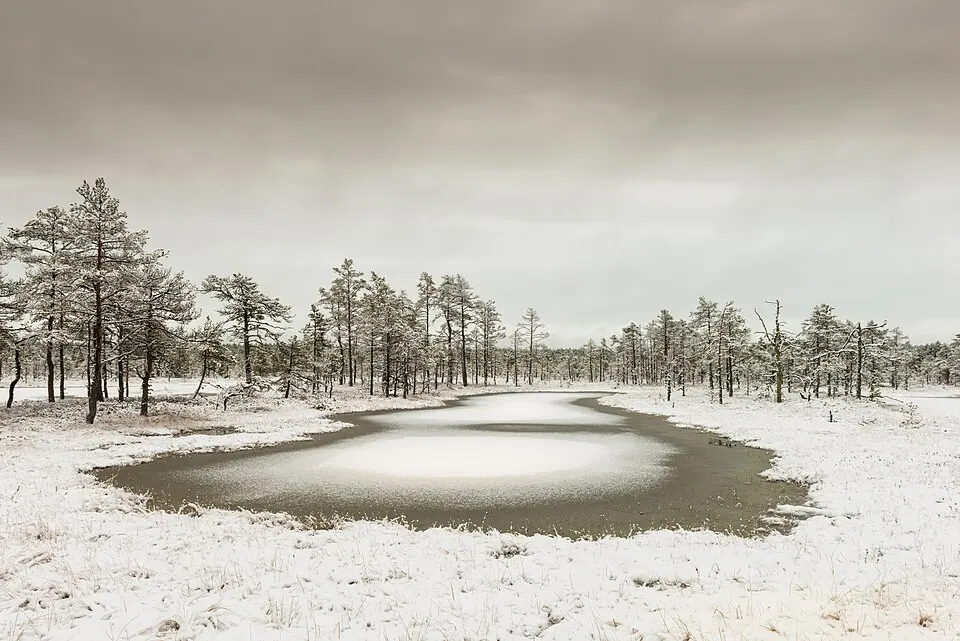
Photo by Abrget47j, CC BY-SA 3.0, via Wikimedia Commons. Lahemaa National Park is a park in northern Estonia, 70 kilometers east from the capital Tallinn. The Gulf of Finland is to the north of the park and the Tallinn-Narva highway (E20) to the south. Wikipedia
Day nine: bogs, manor houses and the coast east of Tallinn.
Written about in 47 languagesStart a trip here
8 Tartu
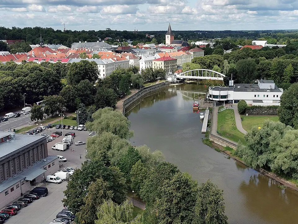
Photo by Boreaallane, CC BY-SA 4.0, via Wikimedia Commons. Tartu is the second-largest city in Estonia, after the capital, Tallinn. Tartu has a population of 97,304 (as of 2025), and is the seventh most-populous city in the Baltics. Wikipedia
Day ten: the university town, then south by the Latvian lakes.
Written about in 116 languagesStart a trip here
9 Masurian Lake District
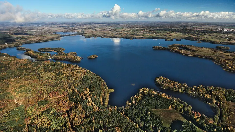
Photo by Mkulikowski, CC BY-SA 4.0, via Wikimedia Commons. The Masurian Lake District or Masurian Lake Land is a lake district in northeastern Poland within the geographical region of Masuria, in the past inhabited by Masurians who spoke the Masurian dialects. It contains more than 2,000 lakes. Wikipedia
Days eleven to thirteen: into Poland for the lakes and the cheapest campsites of the trip.
Written about in 34 languagesStart a trip here
10 Trakai

Photo by BigHead, CC BY-SA 4.0, via Wikimedia Commons. Trakai is a city and lake resort in Lithuania. It lies 28 kilometres (17 miles) west of Vilnius, the capital of Lithuania or just 7 kilometres (4 miles) from the administrative limits of the Lithuanian capital city. Wikipedia
Day fourteen: the island castle, half an hour from Vilnius.
Written about in 67 languagesStart a trip here
Riding or driving it
About 2,200 km in 14 days. Roadlegs keeps the route out of Belarus and Kaliningrad, lists the Via Baltica and the ferries, and finds the campsites and water points around each night.
Open the plan in Roadlegs How the planner handles this vehicle.
About the facts and photos
The descriptions in italics are the opening sentences of the Wikipedia article for each place, used under CC BY-SA 4.0, fetched on 6 October 2026. Photos are from Wikimedia Commons under the licence named beside each one. "Written about in N languages" counts the Wikipedia editions that have an article, from Wikidata; it is a measure of how well known a place is, not a rating. Everything else is the author's own opinion. Roads close with the seasons: check before you go.
More ideas
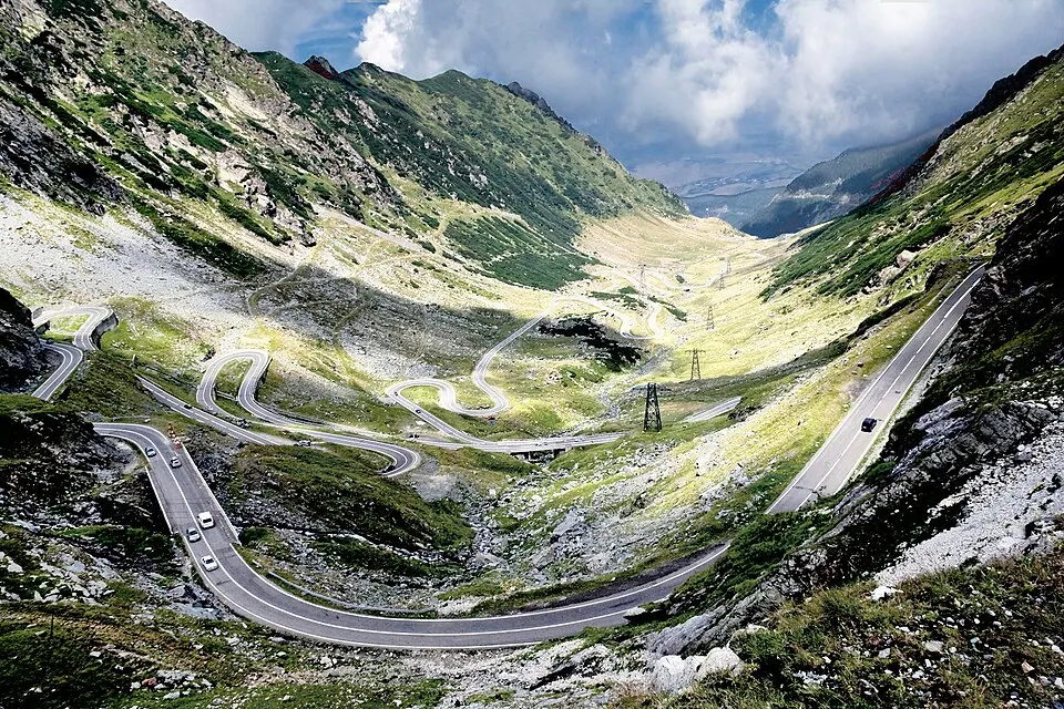
Best motorcycle trips in Eastern Europe: 8 roads and regions
Eight motorcycle destinations in Eastern Europe without Russia or Belarus: Romania, Slovakia, Poland, the Baltics and the Balkans, with the roads to ride.
Best road trips from Vilnius: 8 trips, a weekend to two weeks
Eight road trips starting in Vilnius by car, from the Baltic coast and Riga to the Tatras, the Alps and Scandinavia, with days and the countries crossed.
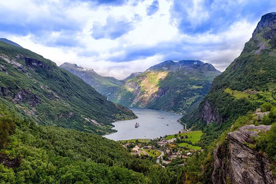
The 10 best campervan routes in Europe
Ten routes for a campervan or motorhome in Europe: Norway's fjords, the Scottish Highlands, the Atlantic coast of France and Portugal, Slovenia, Croatia and the Alps.


.jpg)


.jpg)


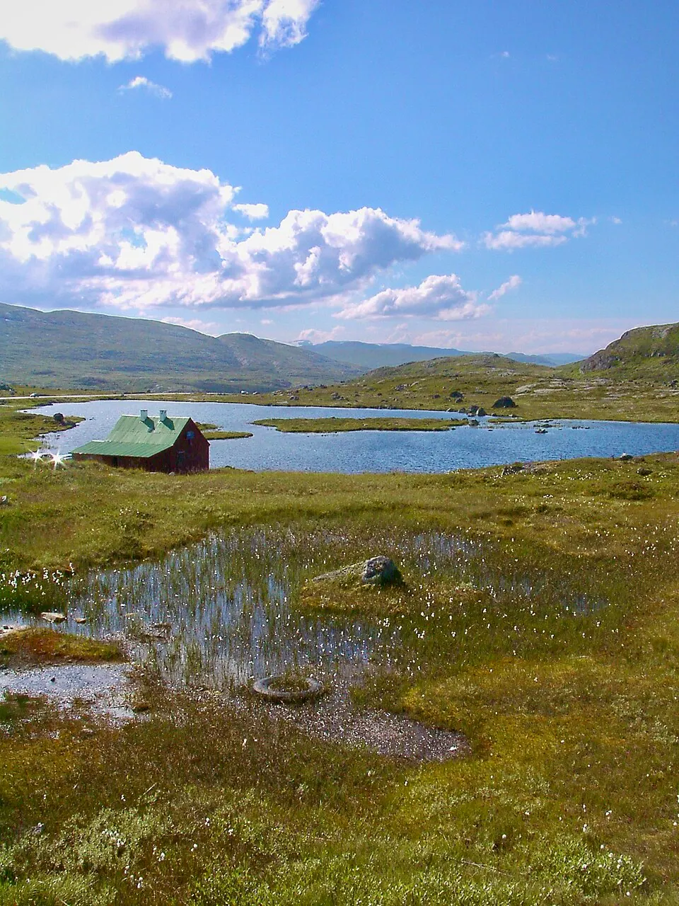
Norway by campervan: the best regions, campsites and rules
Where to camp in Norway with a campervan: the fjord regions worth a week, the ferry costs, the right-to-roam limits and the AutoPASS tolls.