Iceland's Ring Road by car: the 10 stops that make the loop
Route 1 goes all the way round Iceland, and a week on it is the best road trip in Europe that is not in Europe. These ten stops, in driving order from Reykjavík, are the ones not to skip.
Plan this trip1 The Ring Road itself
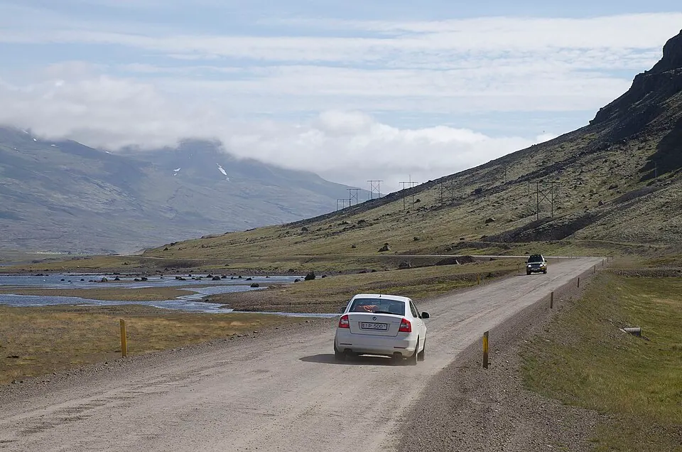
Photo by Pjt56 --- If you use the picture outside Wikipedia I would appreciate a short e-, CC BY-SA 4.0, via Wikimedia Commons. Route 1 or the Ring Road is a national road in Iceland that circles the entire country. Wikipedia
Mostly two lanes of tarmac, a few gravel stretches, one lane on some bridges, sheep everywhere. Seven days is a tour; ten days is a holiday.
Written about in 31 languages
2 Golden Circle (Iceland)

Photo by No machine-readable author provided. Tmuehlbacher assumed (based on copyright cl, CC BY-SA 3.0, via Wikimedia Commons. The Golden Circle is a tourist route in southwest Iceland. It is a loop of about 300 kilometres (190 mi), from Reykjavík into the southern uplands of Iceland and back, and includes the most visited attractions in Iceland. Wikipedia
Þingvellir, Geysir and Gullfoss in one loop out of Reykjavík: the first day for most people, and worth it even with the coaches.
Written about in 23 languagesStart a trip here
3 Seljalandsfoss
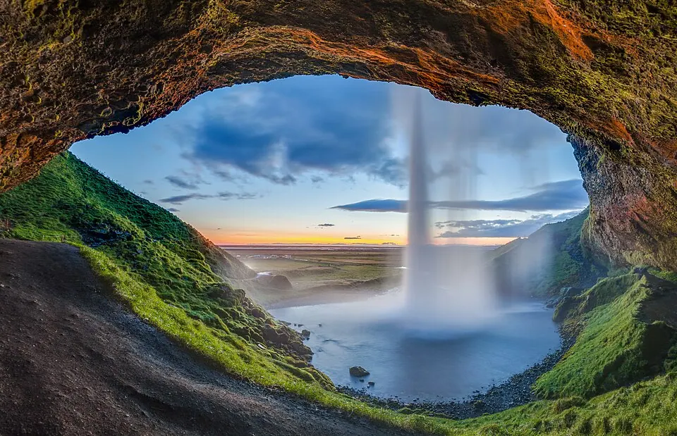
Photo by Diego Delso, CC BY-SA 4.0, via Wikimedia Commons. Seljalandsfoss is a waterfall in Iceland. Seljalandsfoss is located in the South Region in Iceland right by Route 1 and the road that leads to Þórsmörk Road 249. Wikipedia
The waterfall you can walk behind, right beside the road. Bring a rain jacket for the path.
Written about in 40 languagesStart a trip here
4 Skógafoss
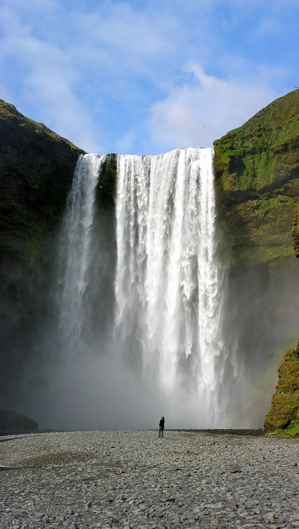
Photo by Hansueli Krapf, CC BY-SA 3.0, via Wikimedia Commons. Skógafoss is a waterfall on the Skógá River in the south of Iceland at the cliff marking the former coastline. Wikipedia
Wide, loud and straight off the road, with a staircase to the top and the Fimmvörðuháls trail beyond it.
Written about in 36 languagesStart a trip here
5 Reynisfjara
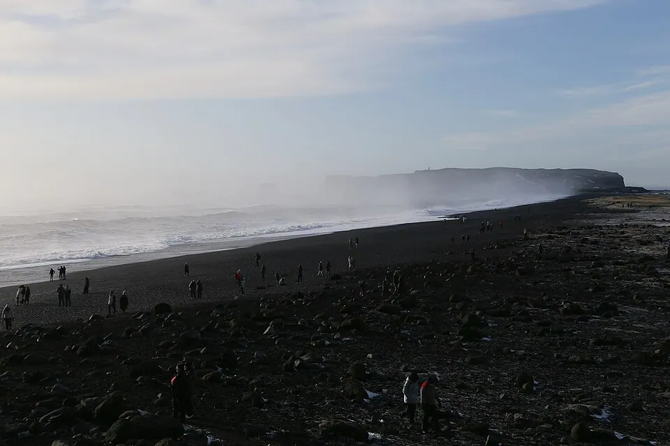
Photo by Strwiki2017, CC BY-SA 4.0, via Wikimedia Commons. Reynisfjara is a popular black sand beach in southern Iceland near the town of Vík í Mýrdal. It is part of the Katla UNESCO Global Geopark on privately owned land. Wikipedia
The black beach with the basalt columns near Vík. The sneaker waves here are not a story: stay well back from the water.
Written about in 5 languagesStart a trip here
6 Jökulsárlón
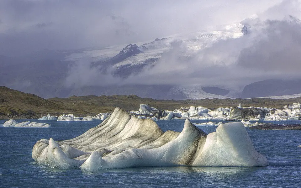
Photo by Molechaser, CC BY-SA 2.0, via Wikimedia Commons. Jökulsárlón is a large glacial lake in the southern part of Vatnajökull National Park, Iceland. Situated at the head of the Breiðamerkurjökull glacier, it developed into a lake after the glacier started receding in the late 19th century. Wikipedia
The glacier lagoon with icebergs drifting out to sea, and the Diamond Beach across the road where they wash up on black sand.
Written about in 33 languagesStart a trip here
7 Vatnajökull National Park
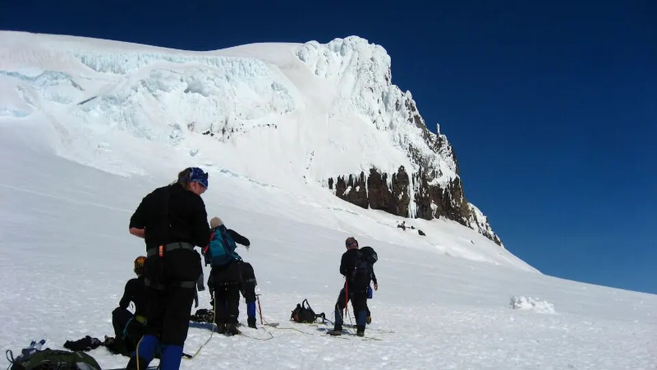
Photo by Gummao, CC BY-SA 3.0, via Wikimedia Commons. Vatnajökull National Park is one of three national parks in Iceland, and is the largest one. It encompasses all of Vatnajökull glacier and extensive surrounding areas. Wikipedia
Europe's largest glacier and the park around it: Skaftafell for the walks, the ice caves in winter with a guide.
Written about in 44 languagesStart a trip here
8 Mývatn
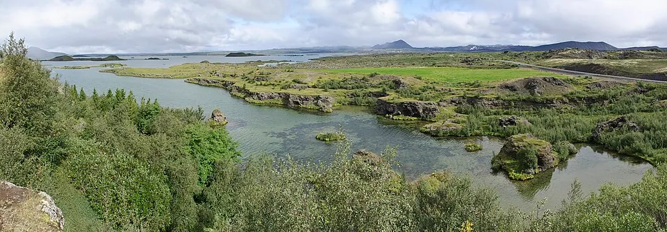
Photo by Pjt56 --- If you use the picture outside Wikipedia I would appreciate a short e-, CC BY-SA 4.0, via Wikimedia Commons. Mývatn is a shallow lake situated in an area of active volcanism in the north of Iceland, near Krafla volcano. It has a high amount of biological activity. Wikipedia
The lake in the north with the volcanic landscape around it: pseudo craters, the Hverir mud pools, the Mývatn nature baths. A good two nights.
Written about in 42 languagesStart a trip here
9 Dettifoss
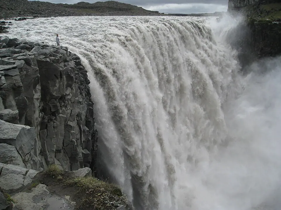
Photo by Tbc, Public domain, via Wikimedia Commons. Dettifoss is a waterfall in Vatnajökull National Park in Northeast Iceland, and is reputed to be the second most powerful waterfall in Europe after the Rhine Falls. Wikipedia
The most powerful waterfall in Europe by volume, a short detour north of the Ring Road. Take the paved western road, 862.
Written about in 46 languagesStart a trip here
10 Snæfellsnes
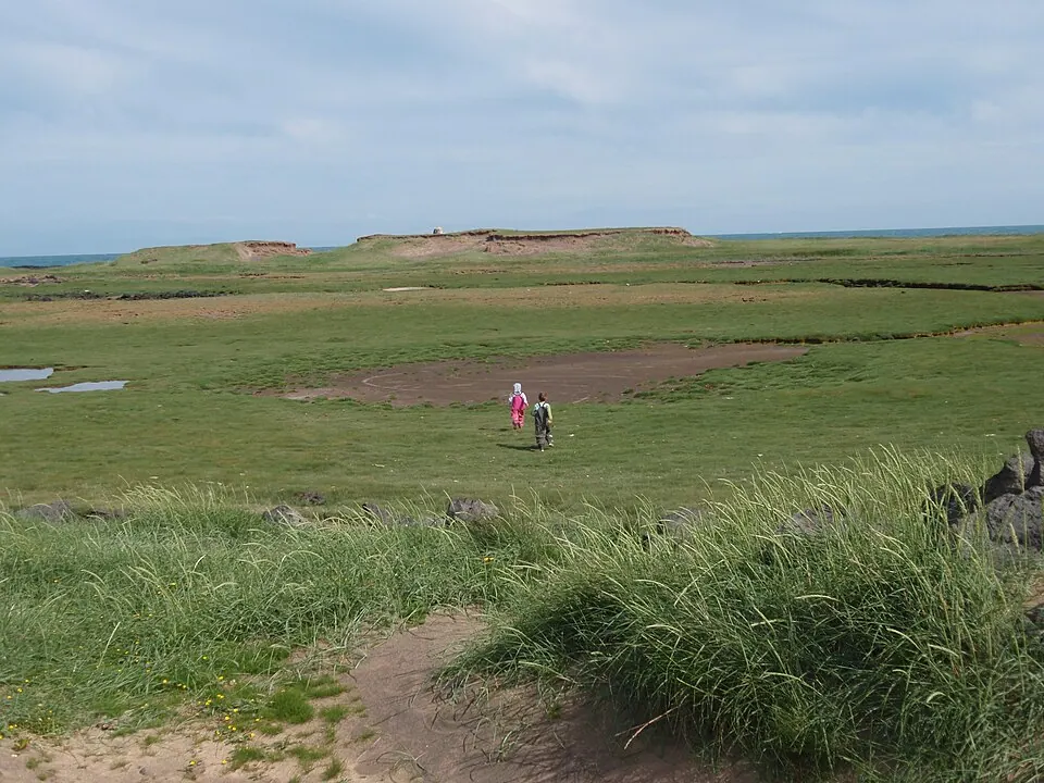
Photo by Agustaka, CC BY-SA 3.0, via Wikimedia Commons. The Snæfellsnes is a peninsula situated to the west of Borgarfjörður, in western Iceland. Wikipedia
The peninsula west of the loop: Kirkjufell, the Snæfellsjökull volcano, lava fields down to the sea. Iceland in one day, at the end of the trip.
Written about in 36 languagesStart a trip here
Riding or driving it
The F-roads into the highlands need a 4x4 and are off limits to most rental cars; the Ring Road itself does not. In winter check road.is every morning. Set the planner to 250 km days: the stops take longer than the driving.
Open the plan in Roadlegs How the planner handles this vehicle.
About the facts and photos
The descriptions in italics are the opening sentences of the Wikipedia article for each place, used under CC BY-SA 4.0, fetched on 6 October 2026. Photos are from Wikimedia Commons under the licence named beside each one. "Written about in N languages" counts the Wikipedia editions that have an article, from Wikidata; it is a measure of how well known a place is, not a rating. Everything else is the author's own opinion. Roads close with the seasons: check before you go.
More ideas
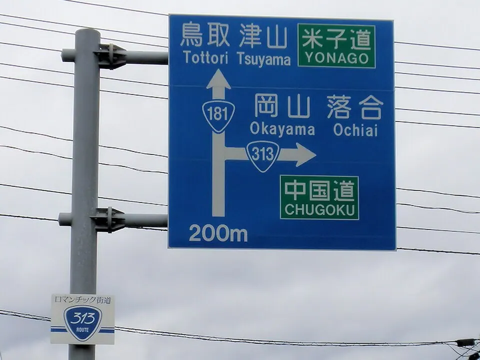
The 10 most beautiful road trips in Europe by car
Ten European road trips for a car, each a week or less: the Romantic Road, the Ring of Kerry, the Amalfi Coast, the Norwegian fjords, the Dolomites and more.
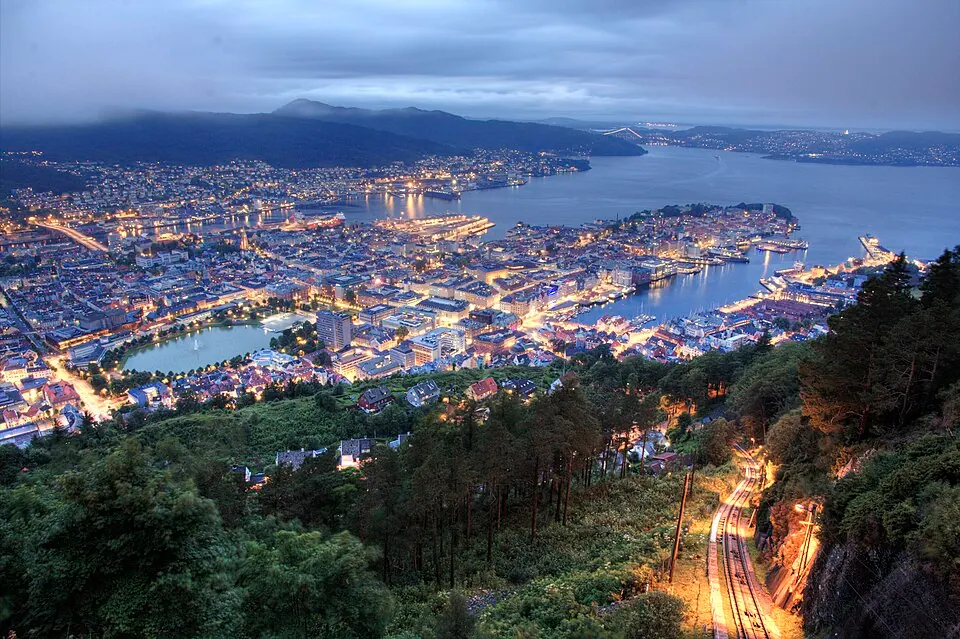
A fjord road trip in Norway by car: 7 stops in 7 days
A one-week car itinerary through the Norwegian fjords from Bergen to Ålesund: Hardanger, Flåm, Sognefjord, Geiranger, Trollstigen and the Atlantic Road.
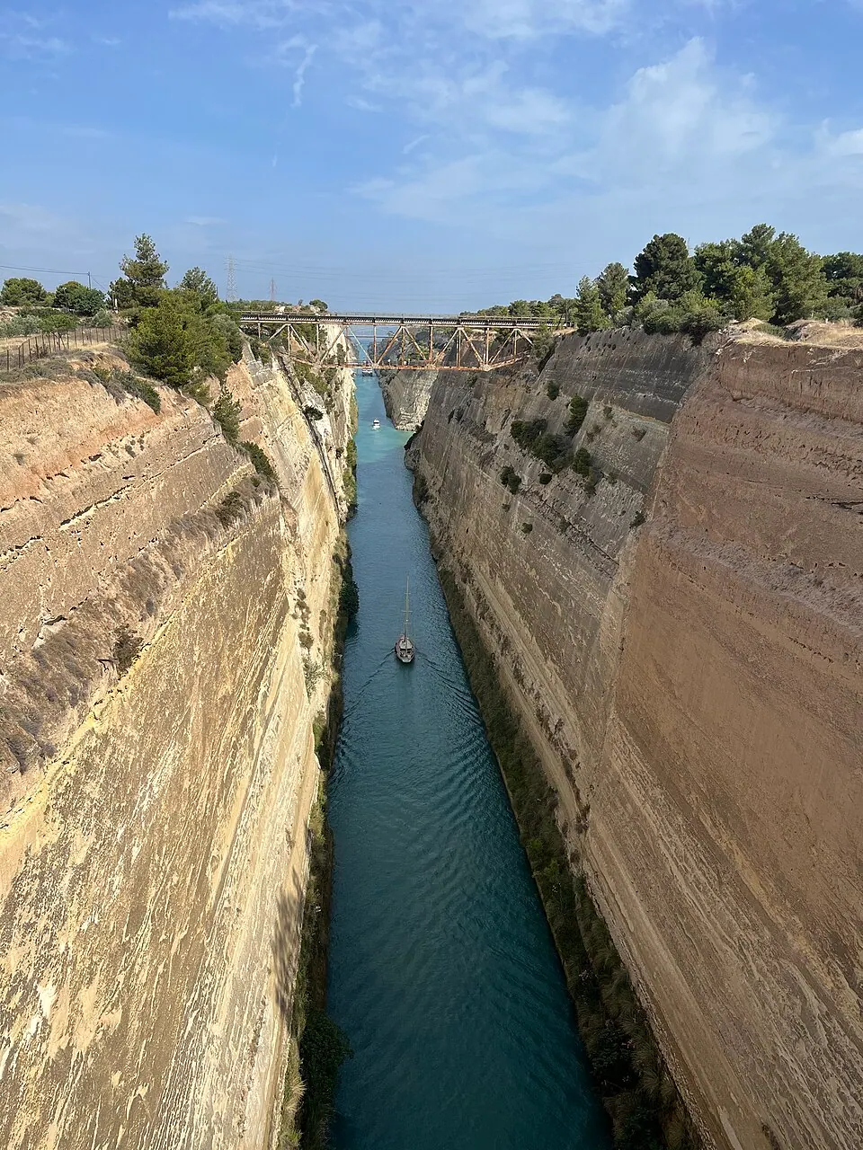
Greece by car: the Peloponnese, Delphi and Meteora in ten days
A ten-day road trip in Greece by car from Athens: Corinth, Mycenae, Nafplio, Epidaurus, Monemvasia, the Mani, Olympia, Delphi and Meteora, with where to stop and how long.
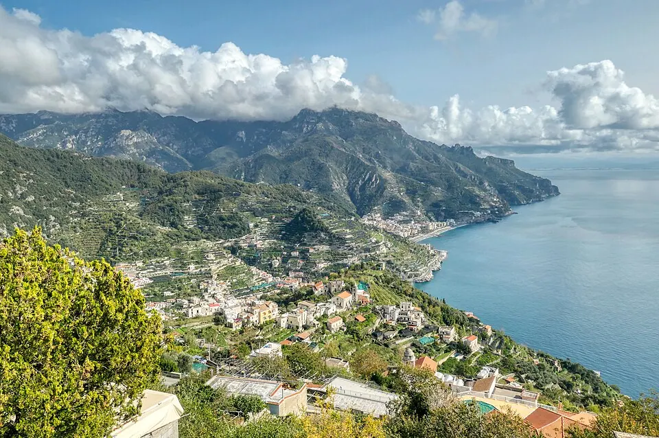


The most beautiful coast roads in Europe to ride
Eight coastal roads for a motorcycle, from the Amalfi Coast to the Atlantic Road and the Causeway Coast, with what to expect on the bike.